Treks
Hiking Jabal al ‘Uwayyin
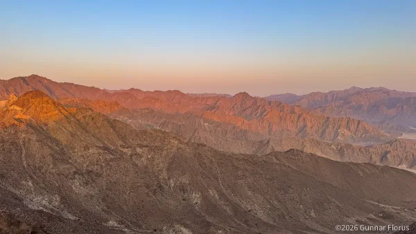
Early October, I had the pleasure of joining my friend Tim’s hiking group in Dubai for a trek to Jabal al ‘Uwayyin in Khor Fakkan, Sharjah. This was …
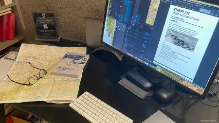
Mountain Pursuits & Expedition Planning
Early October, I had the pleasure of joining my friend Tim’s hiking group in Dubai for a trek to Jabal al ‘Uwayyin in Khor Fakkan, Sharjah. This was …
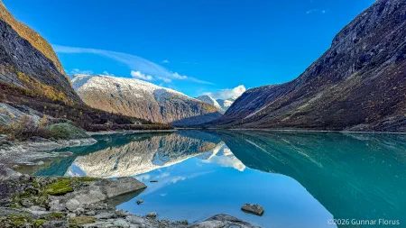
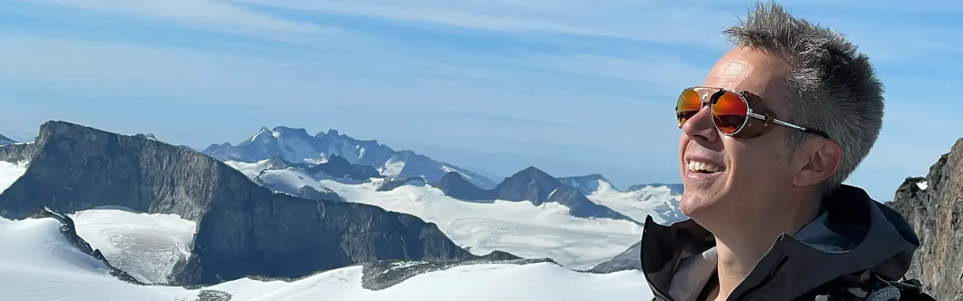
Store Austanbottstind stands at 2,203 metres with a prominence of 480 metres. It is the highest peak …
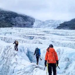
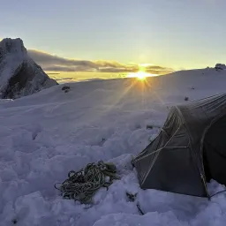
The traverse from Nigardsbreen to Steinmannen represents a complete alpine challenge, combining …
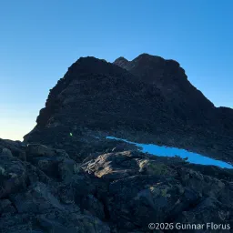
Store Dyrhaugstind is the tallest peak among the Dyrhaungstindane summits. It stands at 2147 meters …
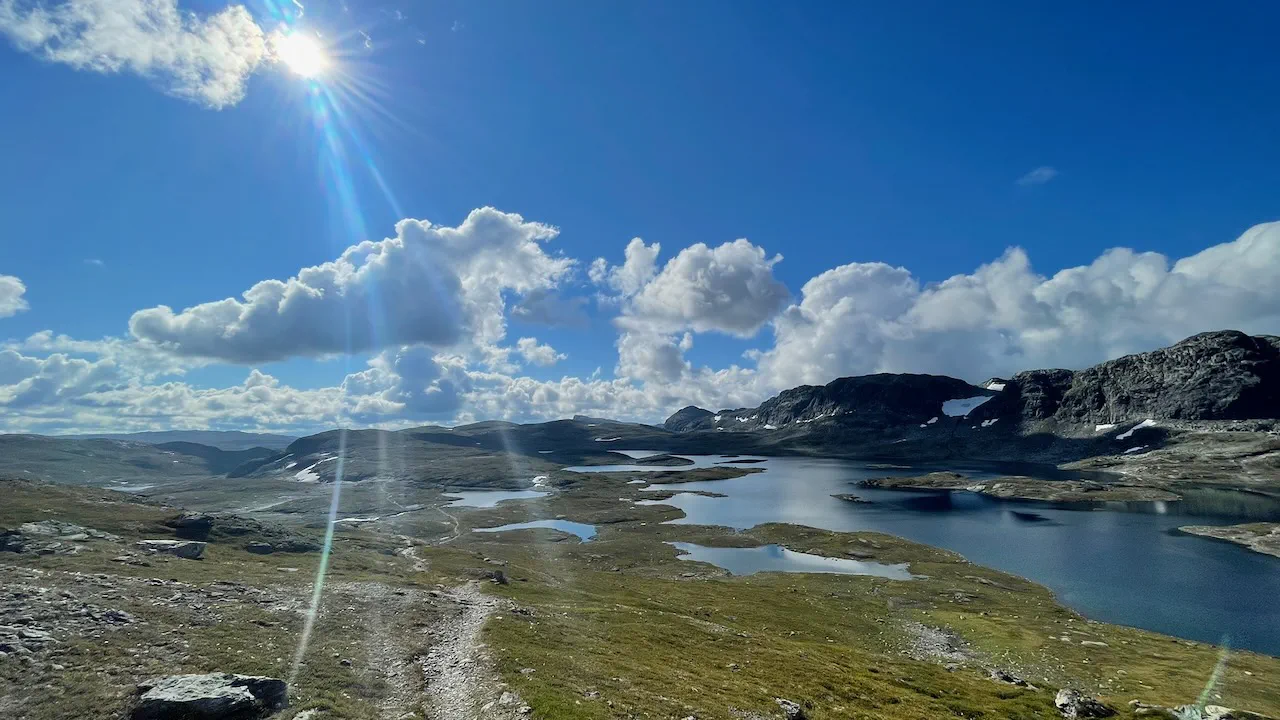
Breheimen · Jotunheimen · Skarvheimen · Hardangervidda
350km · 21 days · 2022
Explore the journey →