MASSIV Day 8: Fondsbu – Slettningsbu
Enjoyed a good night’s sleep at Fondsbu. Had goat kid for dinner, which tasted exquisite and then took yet another early night. They served the best gluten free bread I’ve had in a long time for breakfast, so made myself a massive pack for lunch.
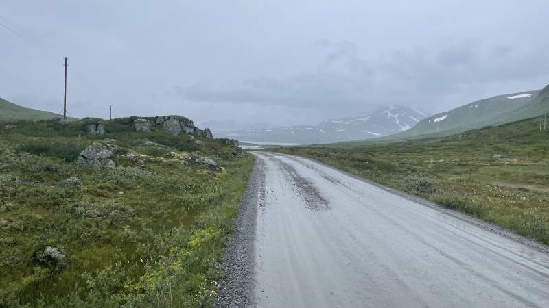
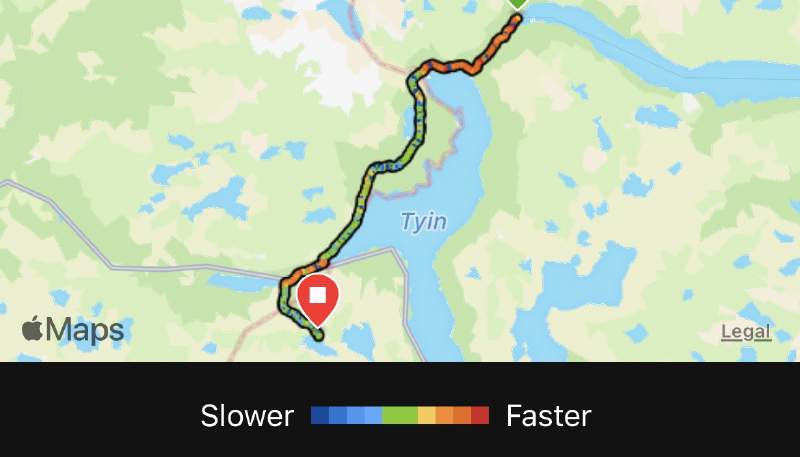
Today’s section started with a few kilometres on gravel road and had no heavy climbs or tough boulder areas to traverse. Total distance hiked was just under 25 km, with a total ascent of a mere 756m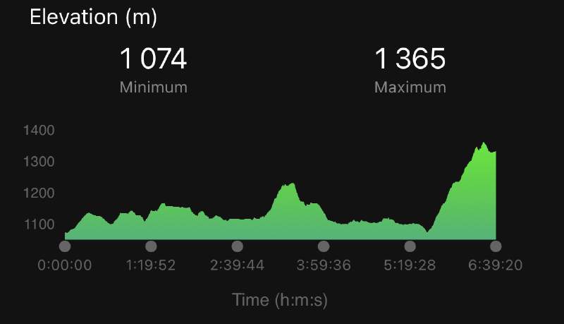
Thanks to the relatively flat terrain I could do today’s section in my mountain running shoes, Topo Mtn Racer 2, instead of my sturdy Alfa Impact boots. Feet appreciated the super light weight and wide footbox. Only challenge was when wading, as the shoes were completely soaked for the entire hike.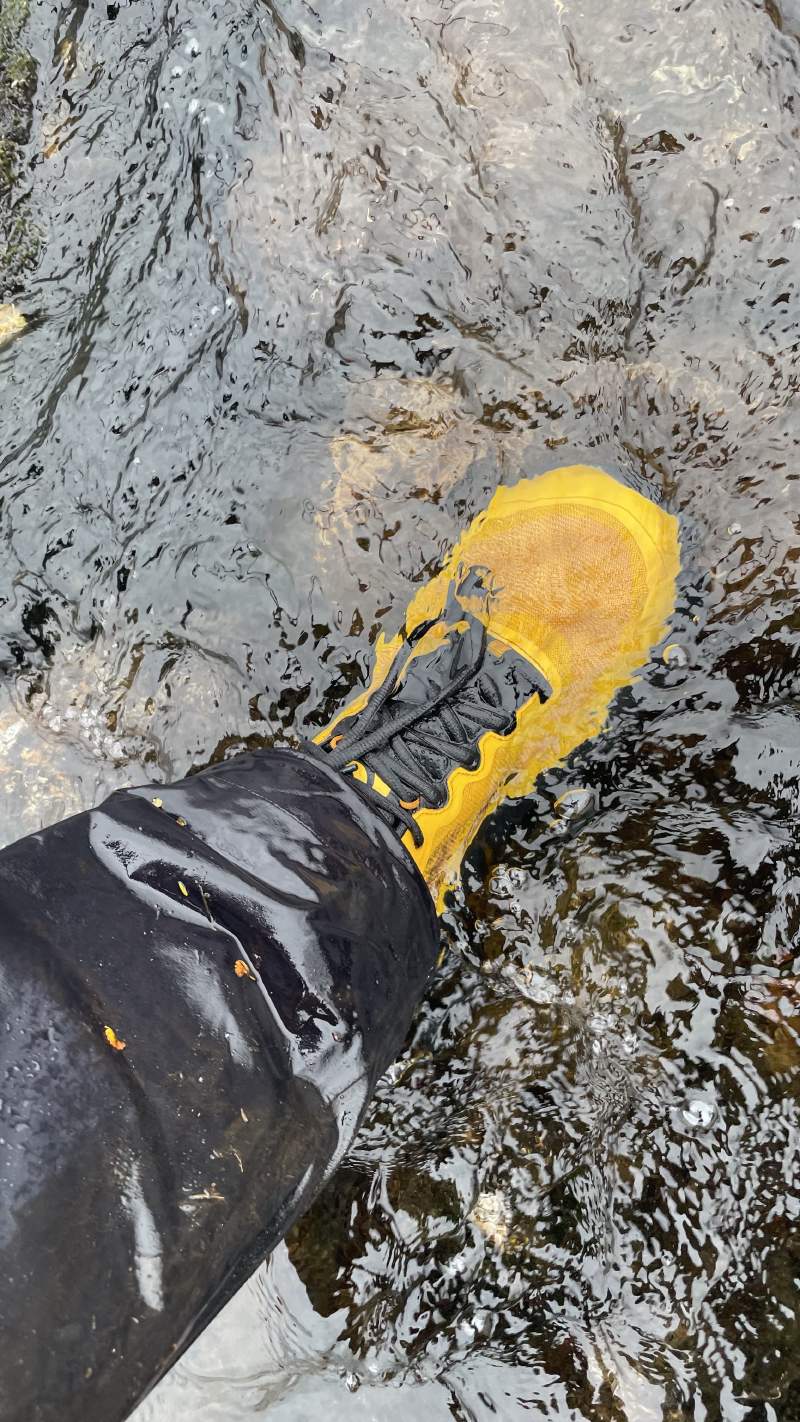
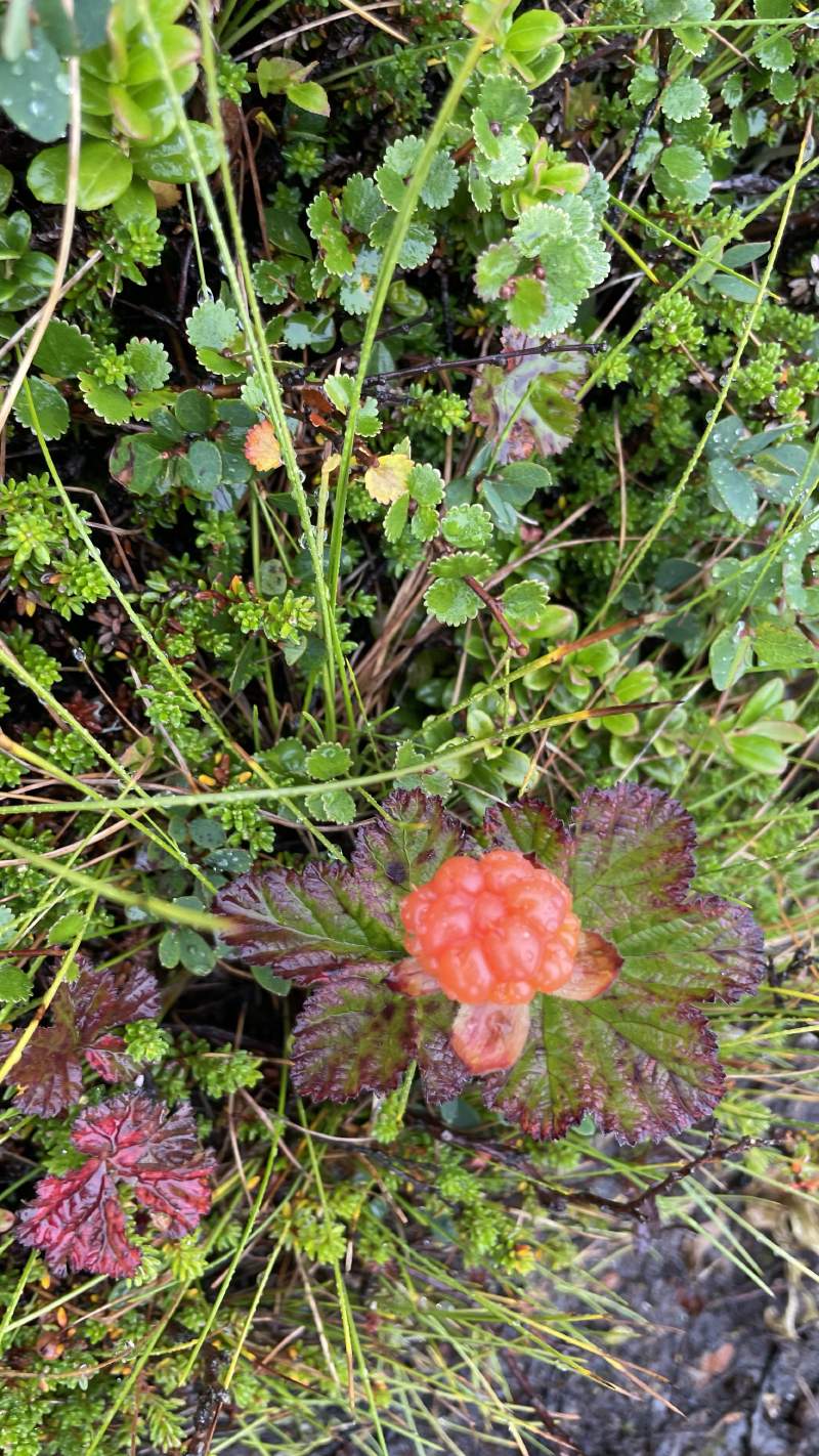
Had the good fortune of stumbling across a large field of cloudberries today and they were exquisite. Probably spent close to an hour gobbling down as many as I could. Nom!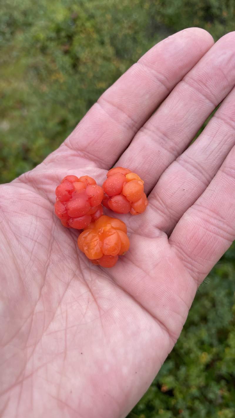
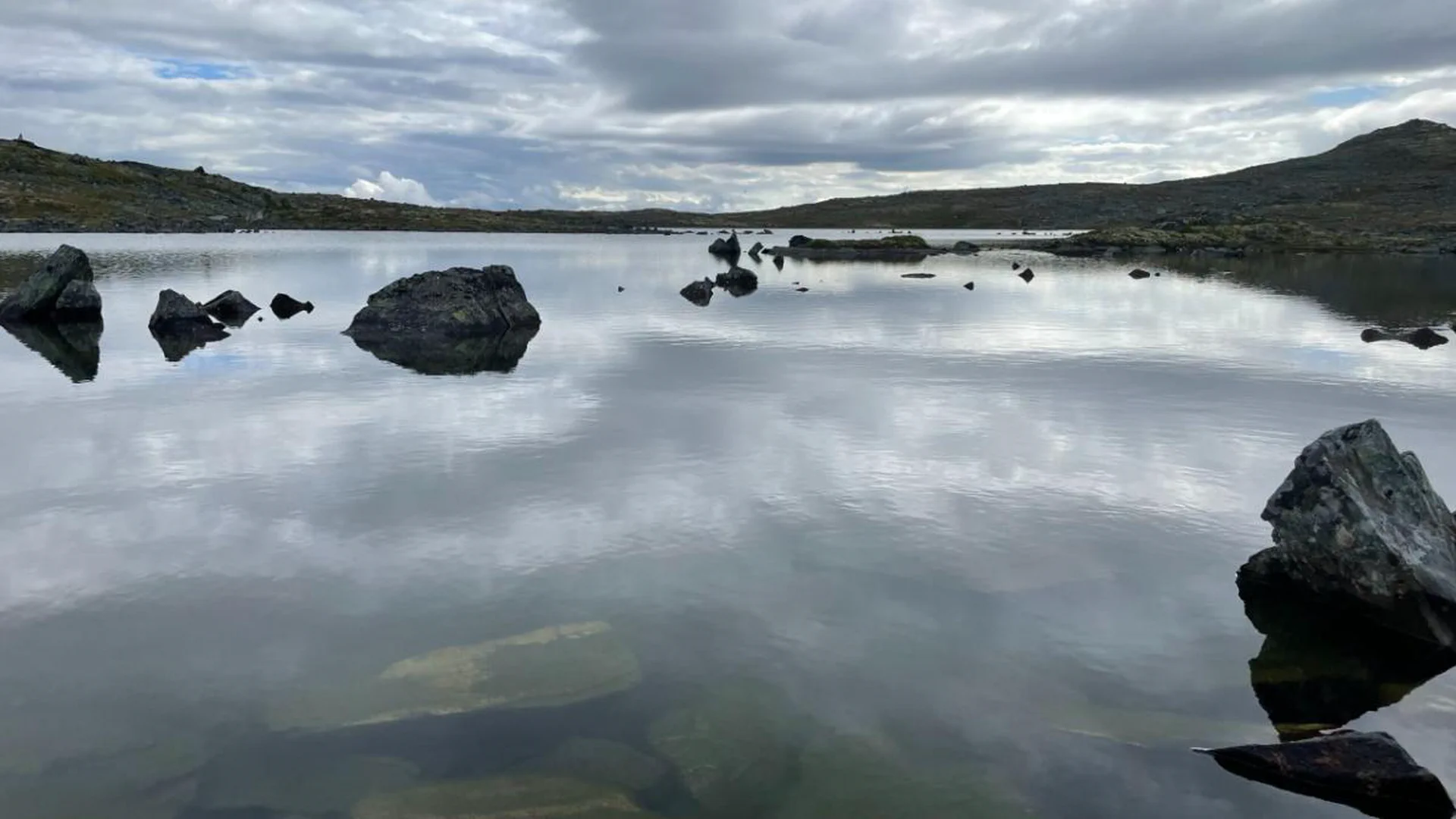
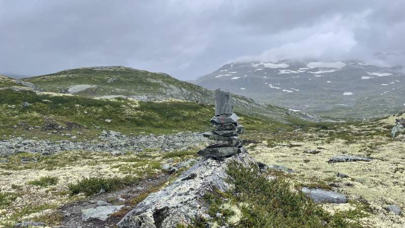
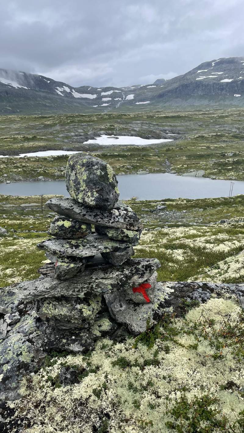
I’ve now hiked around 150km and the landscape has changed noticeably. Gone are the majestic alpine mountains of Breheimen, and to some extent also the big boxy mountains of Jotunheimen. Today I’m at Slettningsbu which also marks the end of the journey through Jotunheimen. Tomorrow I’m entering Skarvheimen. Where Breheimen is wild, looks inhospitable and majestic, Skarvheimen is more like the Scottish Highlands. Lots of slopes, but no steep climbs or glaciers to cross.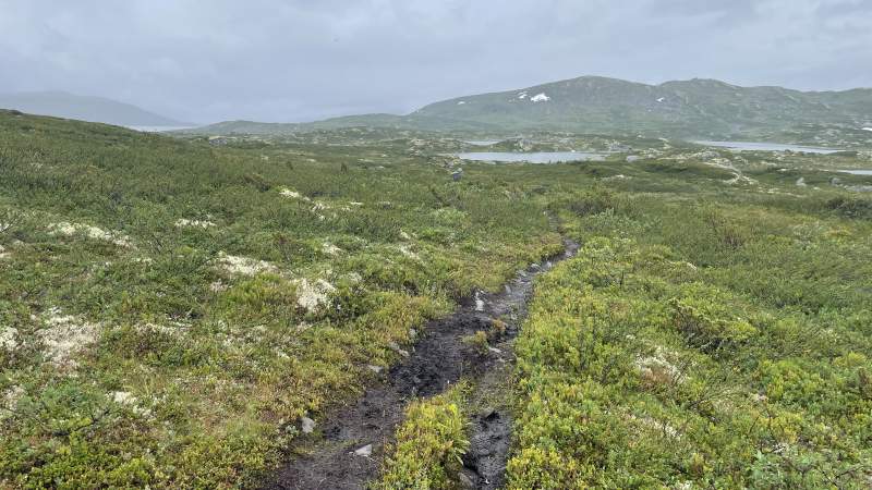
Weather could be better. Could probably be a lot better. Heavy rains, no wind and the most flies and mosquitoes I’ve seen in one day ever. While taking a breath of the fresh mountain air feels great, inhaling a few bugs into the lungs every few meters is less great. Good thing the cloudberries more than made up for it.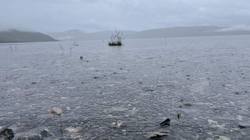
Arrived at Slettningsbu around 16:30, close to an hour later than scheduled due to my insatiable appetite for cloudberries.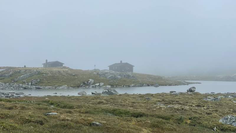
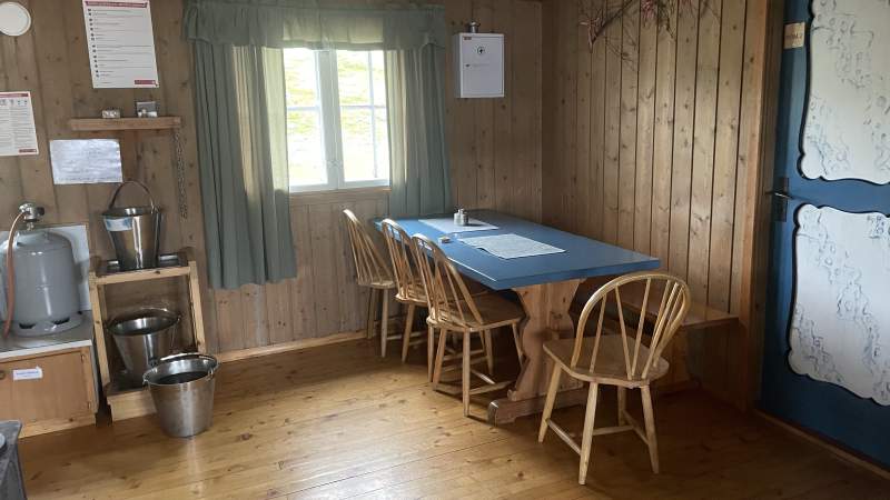
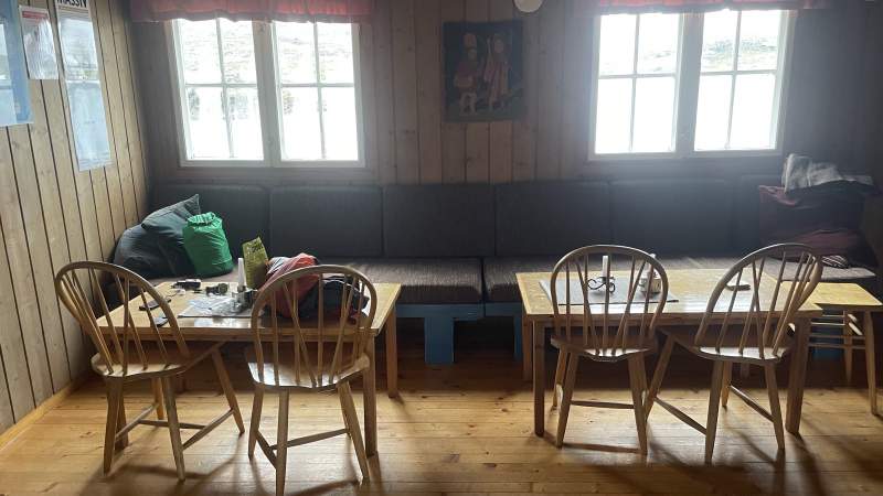
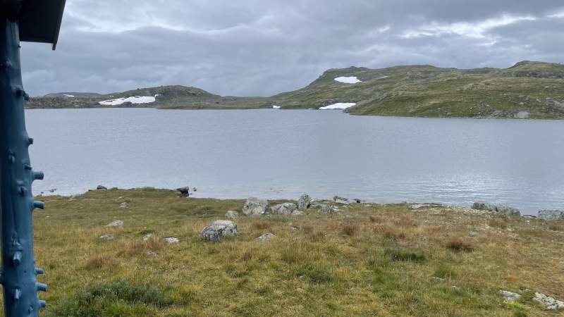
Delighted to find the cabin empty, which means I could be lucky and have the place to myself tonight. No rest at the self service huts though, so have collected water, fire wood, got the fire started, hung my soaked clothes and shoes to dry, and got the water boiling. More pictures of the cabin in the gallery below. Now getting ready for a Real FieldMeal for dinner and then off to yet another early night.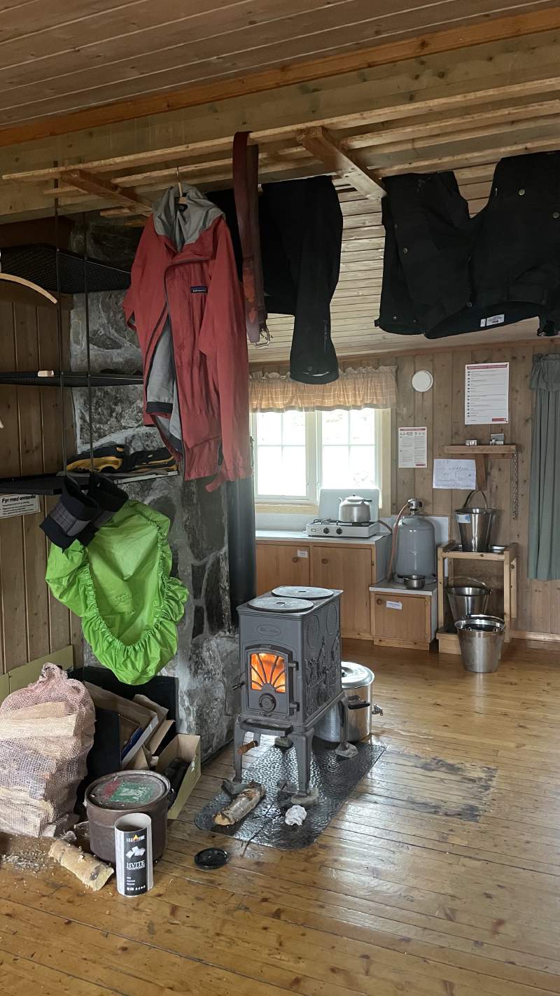
Today’s statistics
- Total distance hiked: 24.29km
- Total time: 6:39 hrs
- Total ascent: 756m
- Total descent: 498m
- Max elevation: 1365
- Today’s favourite item: Komoot hiking route planner.
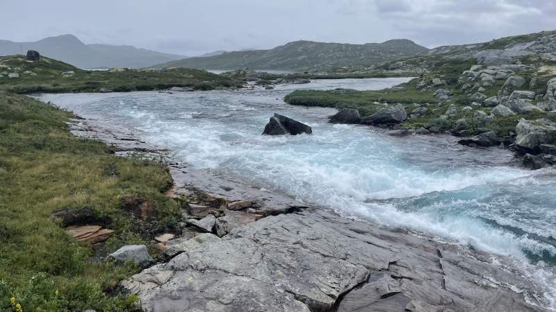
- Today’s crap moment: Realising there were a few rivers to wade in my running shoes
- Toughest section: The marshlands west of Tyin were slippery, muddy and full of flies and mosquitoes.
- Today’s word of wisdom: Fill your shoes with warm, but not glowing, rocks to dry them when there’s no drying room available. If you cannot hold the rock in your hand it’s probably too hot and could damage your shoes.
