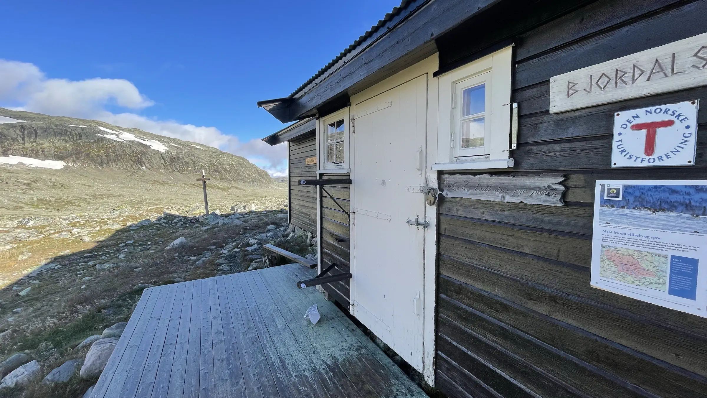
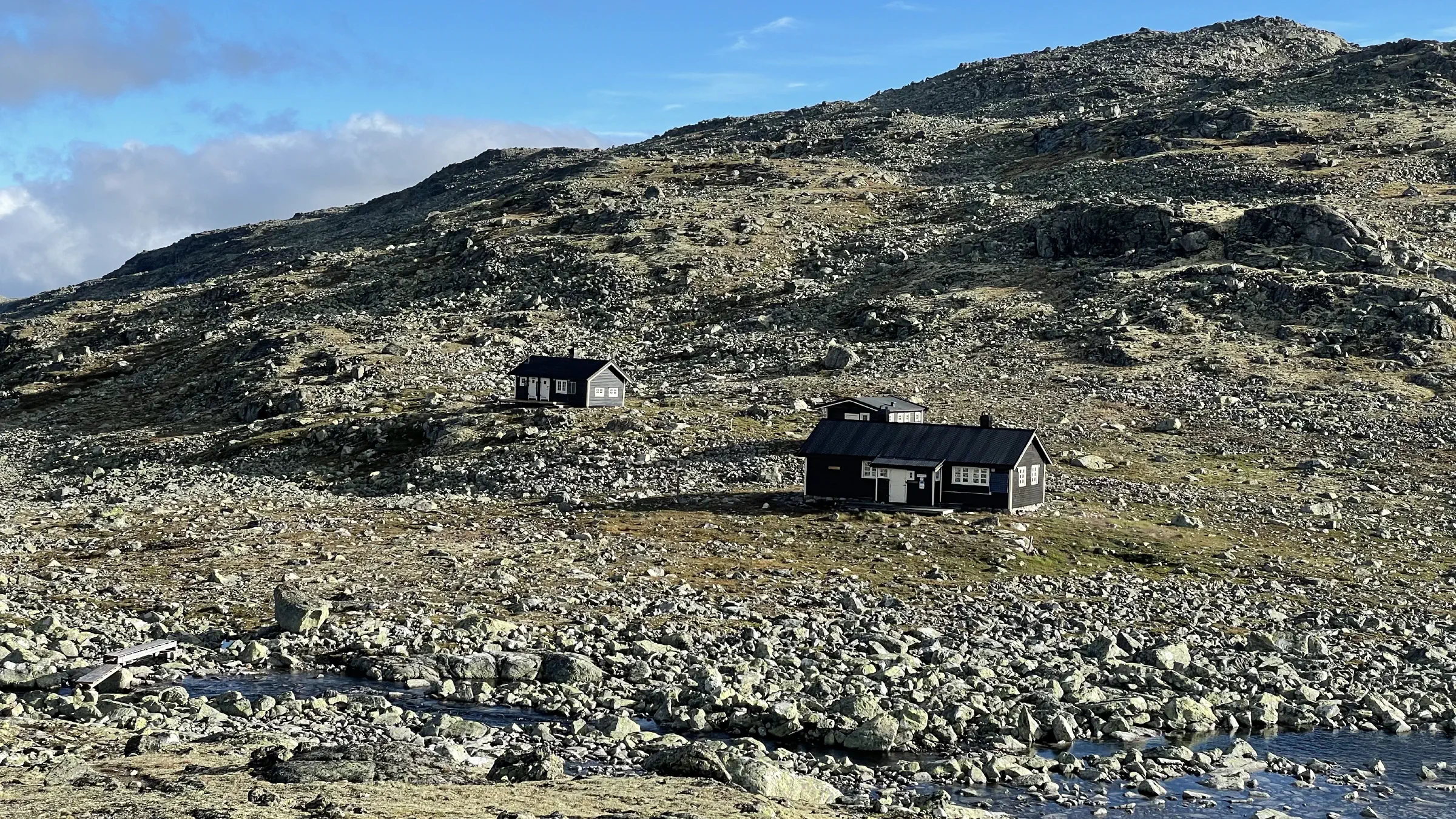
MASSIV Day 12: Bjordalsbu – Iungdalshytta
Saturday, August 20, 2022
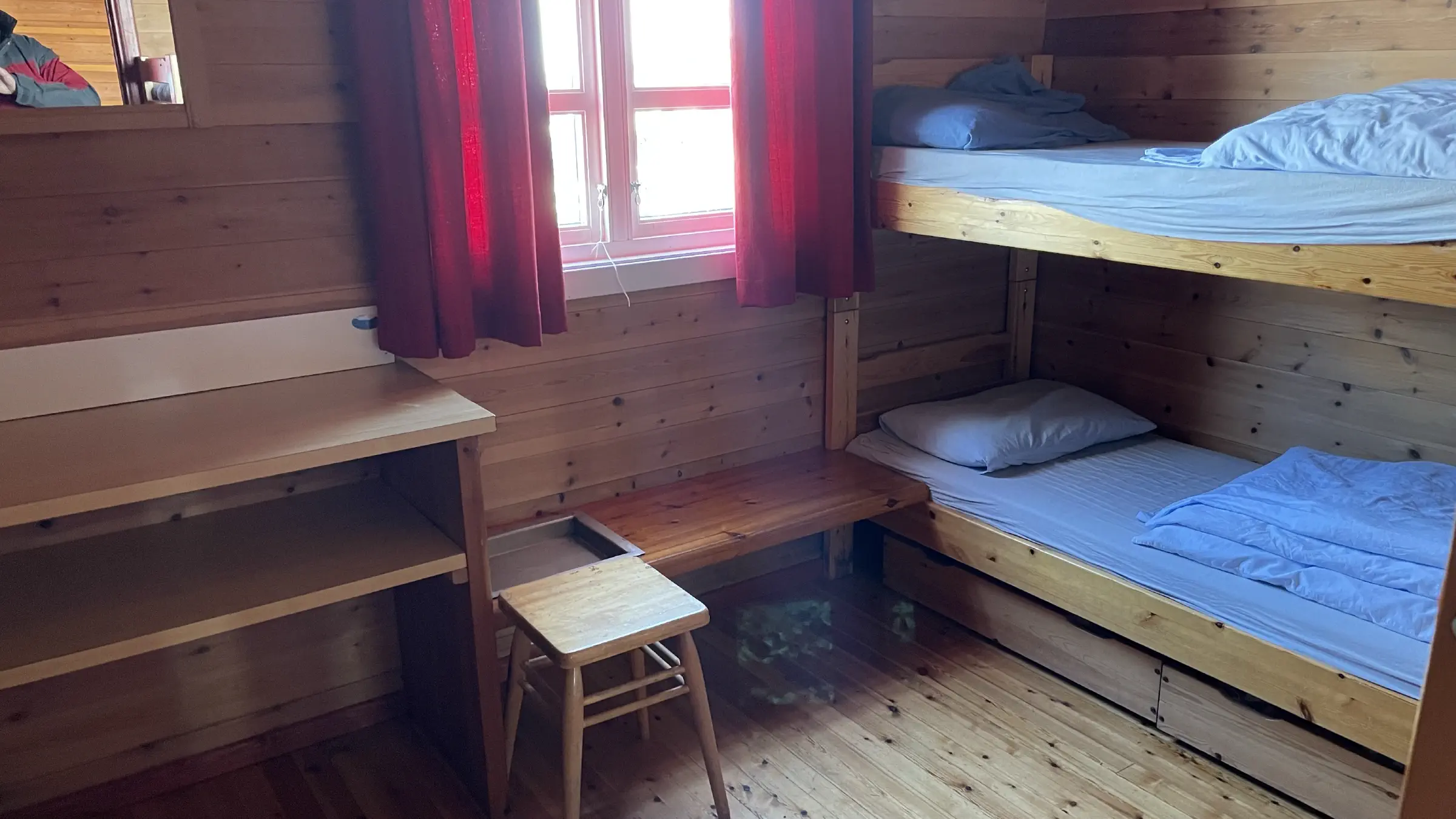
Slept like a baby to the sound of heavy wind and rain whipping the windows of Bjordalsbu, enjoying the idea that I was probably 15km from any other human in the middle of a storm, sitting in a solid cabin full of firewood and canned food.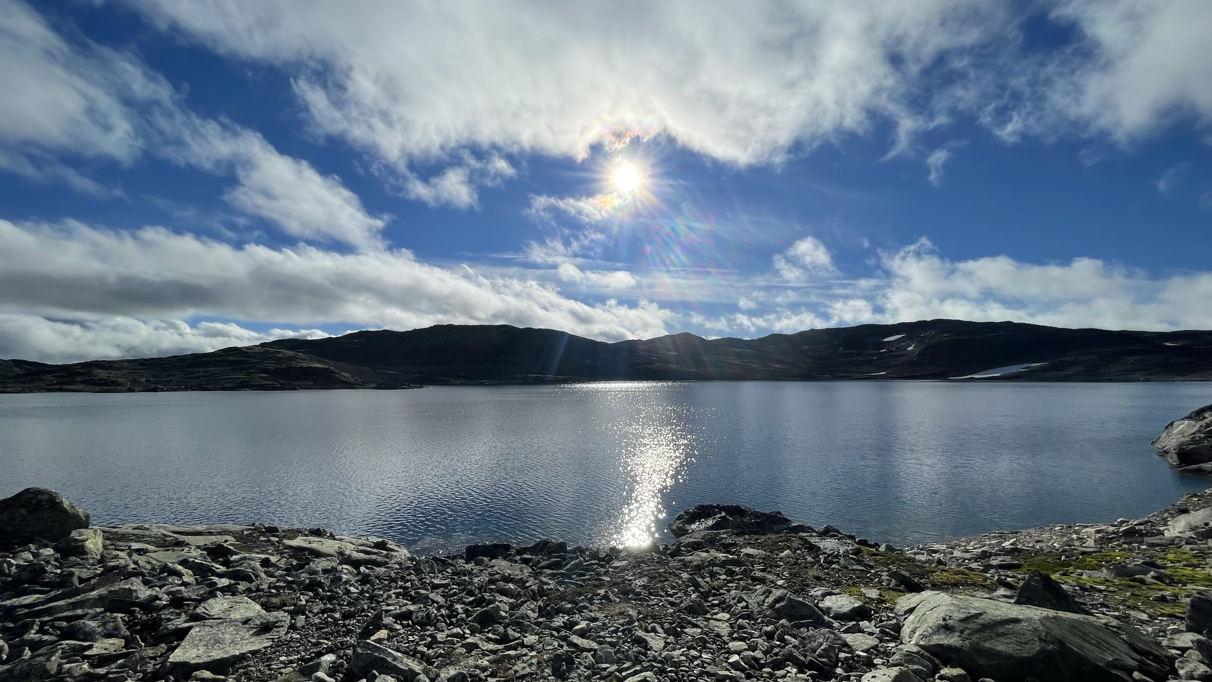
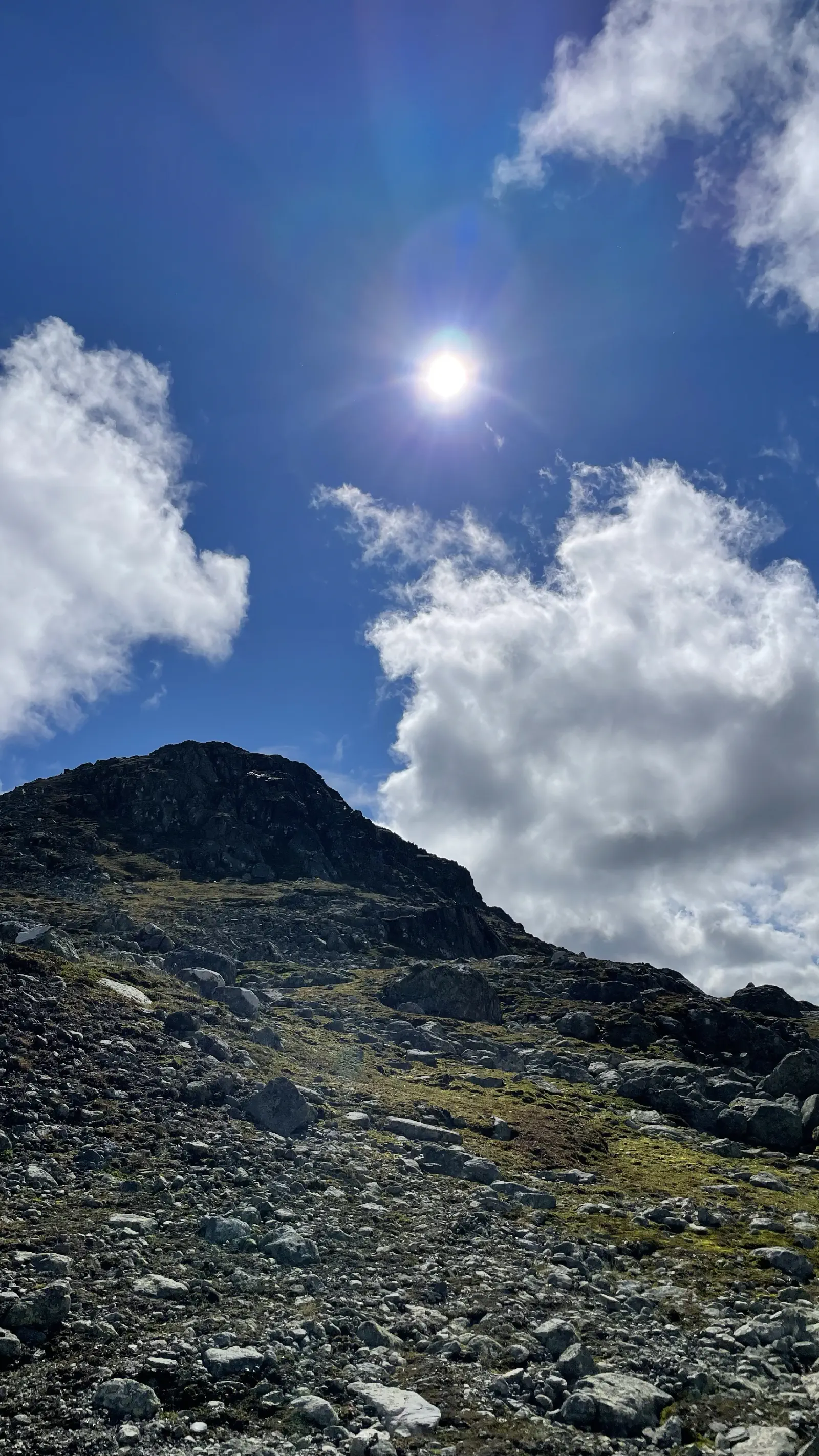
Woke up to clear skies and significantly less wind, which promised well.
Used my inReach to collect fresh weather report for both my current location at Bjordalsbu and the destination location at Iungdalshytta to plan for clothes and possible places to break for lunch. No rain forecast but some wind chill expected, so I replaced my merino T-shirt with a merino long sleeve today. Packed the T-shirt in a plastic bag before placing it in the clothing dry bag so it won’t stink out the other clothes.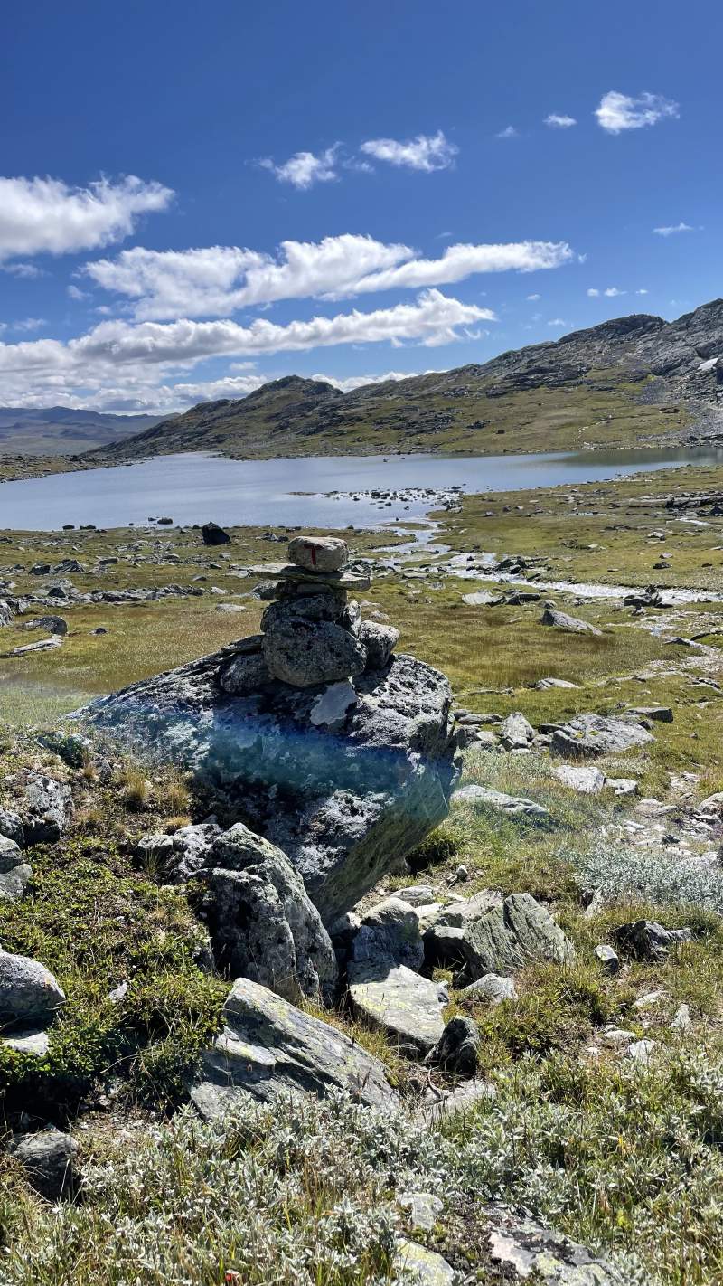
As the days on the trail go by I notice that the novelty of being on a thru-hike is starting to fade on me. Not sure if that’s a good thing or not. I miss the awe and wonder of the first days, while I appreciate the internalised trail skills and routine that keeps me going with minimal effort.
Based on the map and knowledge from other hikers, I chose my Alfa Impact mountain boots again today. The feet always take a few minutes to accept being confined to the narrower space of the Alfa Impacts compared to the ultra wide toebox Topos. Still I have yet to have any blisters or uncomfortable feet, and after a few hundred meters the Alfas feel like second skin.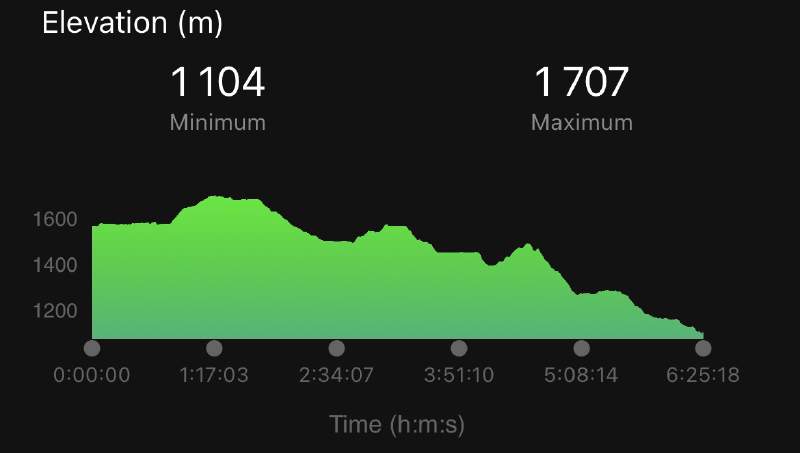
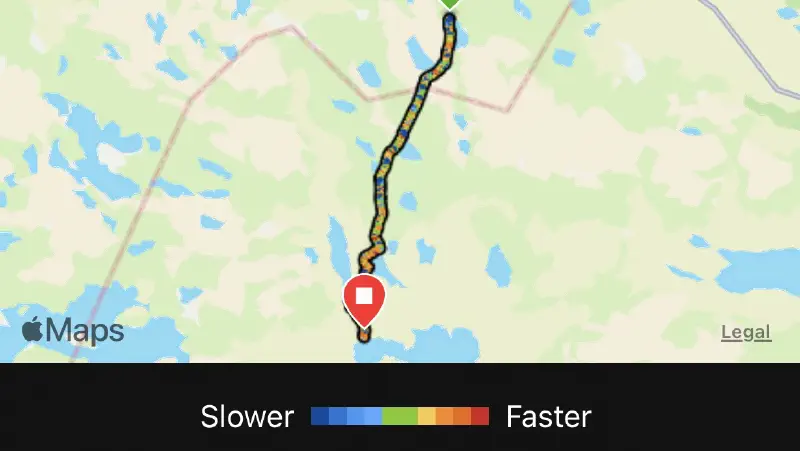
Judging from both the map and Komoot today’s section will not be among the most challenging. It’s roughly 15km with a steady decline towards Iungdalshytta. Total result ended at hiking 16.84km for 6:25 hrs with an ascent of 466m and descent of 929m. Tomorrow however is the longest section of MASSIV at roughly 30km, beginning with a few kilometres of ascent. Based on that I decided to pace myself and take my time today, and use my hiking poles from the start despite not feeling like I need them at all. This to save the knees preemptively for tomorrow. While today’s section was planned for around six hours, I was firmly aiming towards using at least seven. I believe planning ahead is the key to success on longer through-hikes. That didn’t go particularly well as I got in at just 25 minutes over six hours. Oh well, I’m blaming the easy route for that.
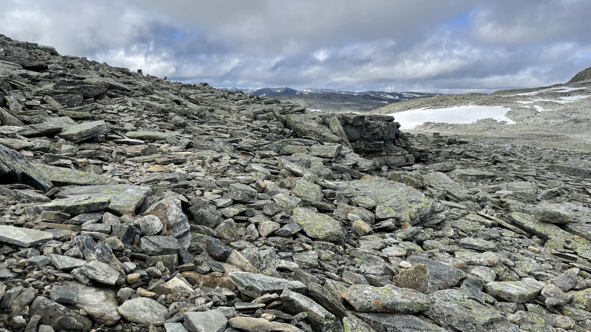
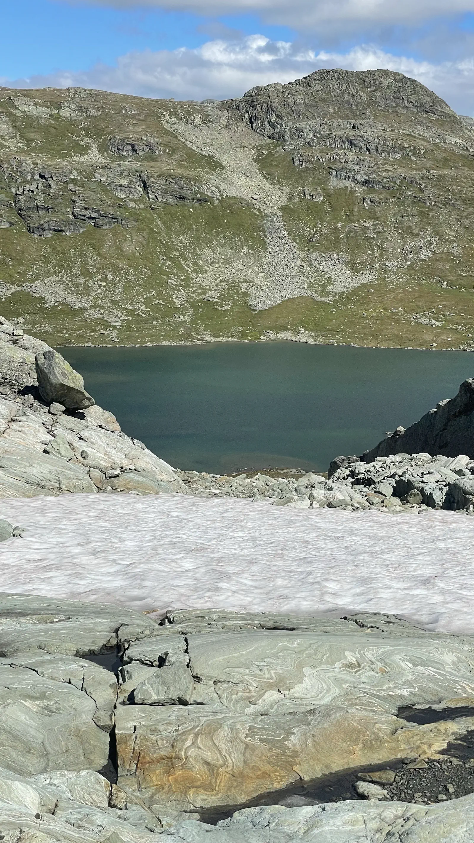
Today’s section started traversing rocks and boulders for the first 4-5km. Nothing serious like the boulders of Breheimen or early Jotunheimen, but still sufficient to slow things down and warrant proper hiking boots over my Topo Mtn running shoes. After the first few kilometres of rocks the path cleaned up nicely and the sun came out full force.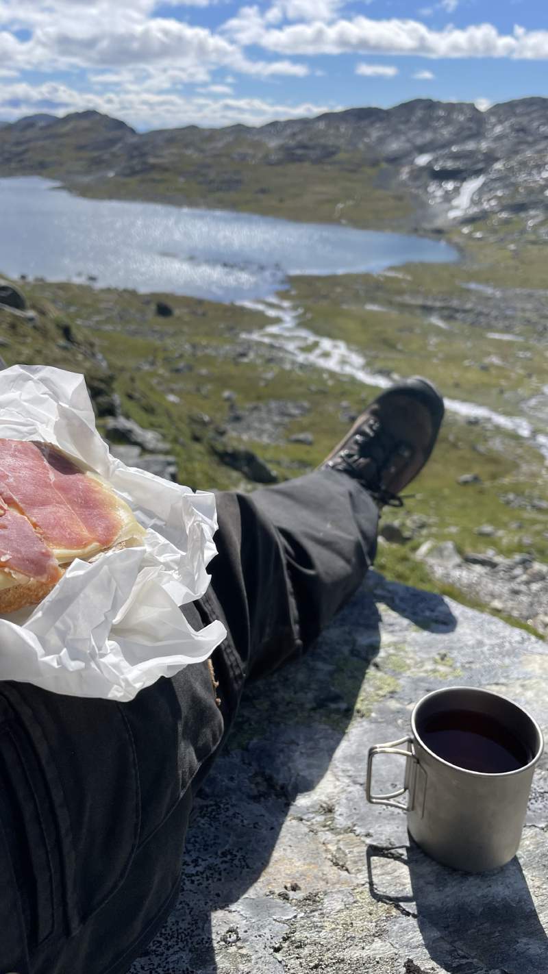
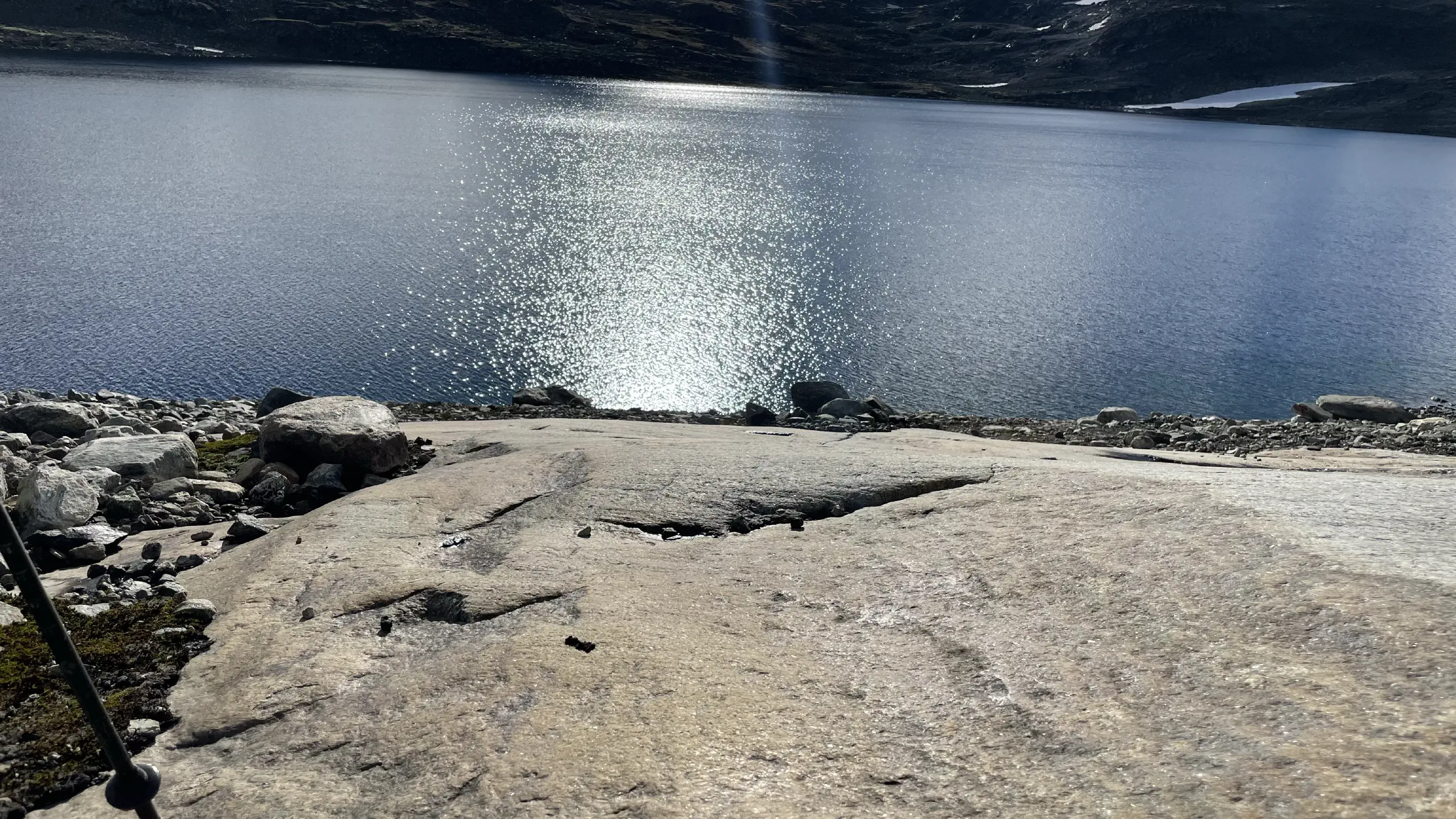
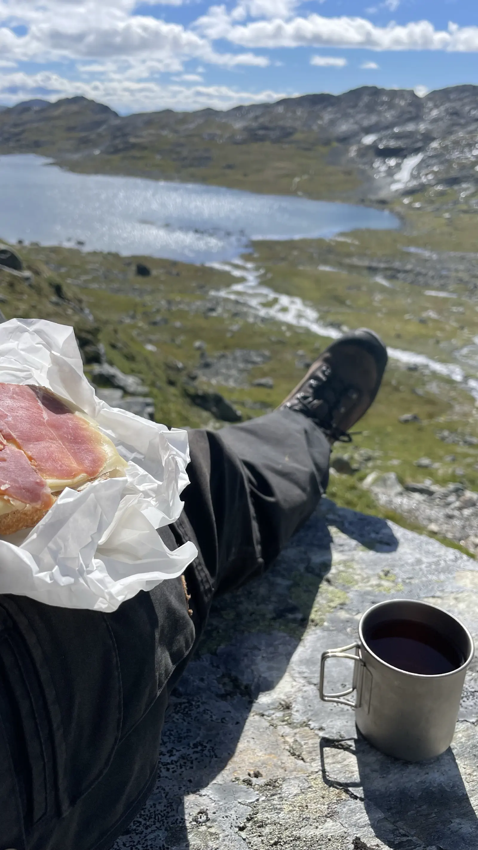
The far most stunning place on the entire MASSIV journey is where I had lunch today. On a big flat rock on the descent from Jutultjørnet towards Svartetjørnet, roughly halfway between start and endpoint of today’s section. Sun was shining, the delicious home made gluten free bread from Breistølen still tasted great, and the view was just breathtaking. Easily sat for a full hour just baking in the sun, taking in the view and the sun rays.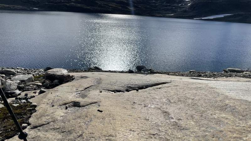
Days like this certainly makes you wonder how many equally beautiful places I’ve walked straight past in the dense fog over the past few days.
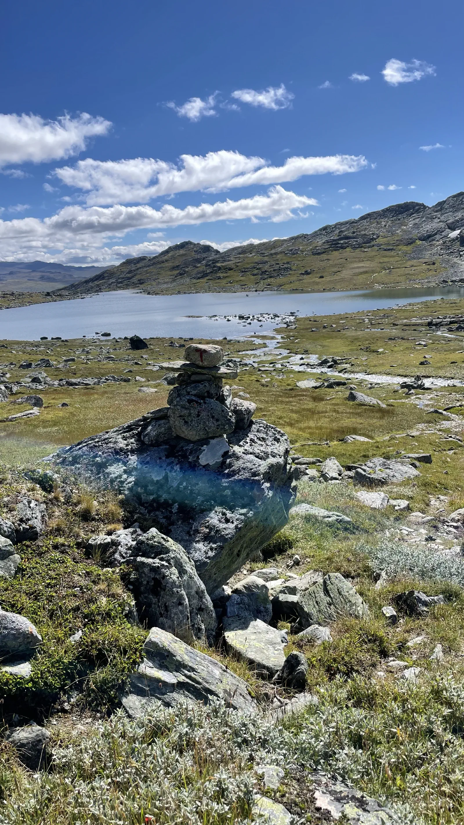
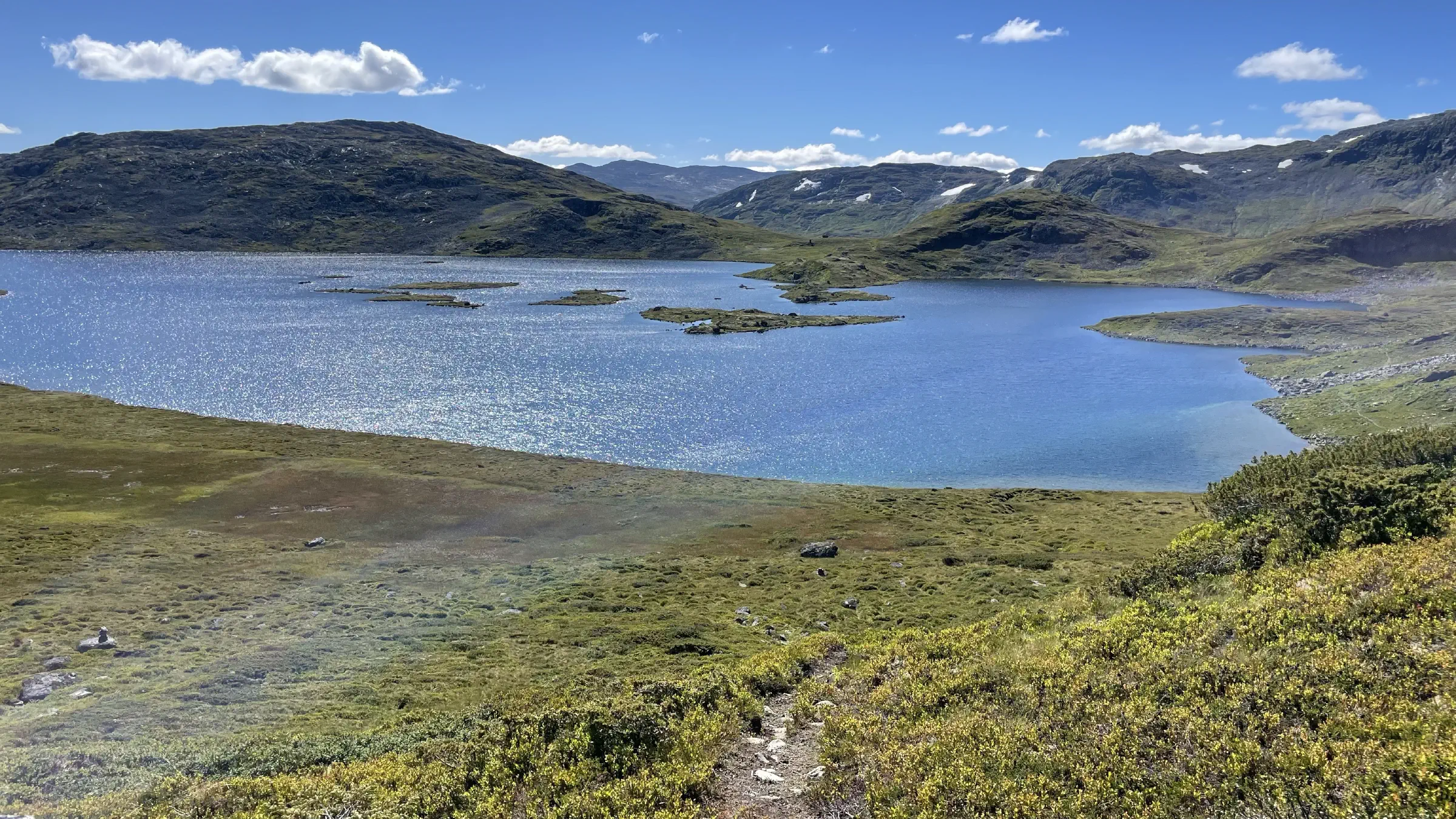
After lunch the breathtaking views came so frequently that it made progress difficult as I had to stop every few minutes to take yet another picture.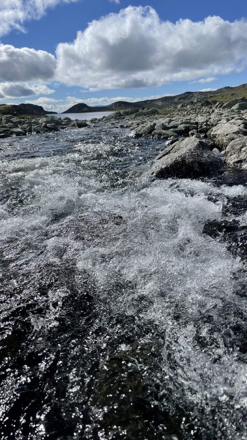
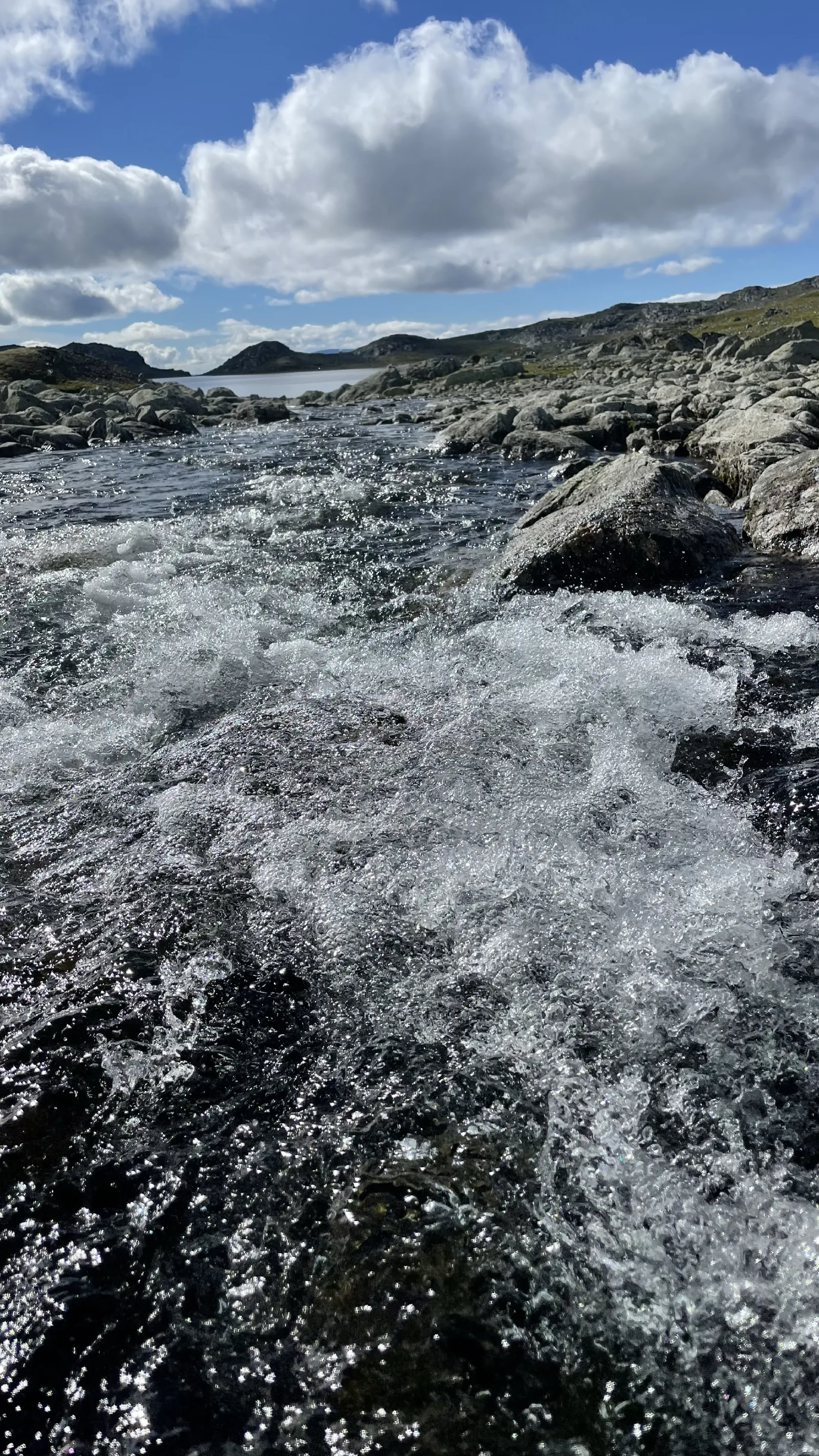
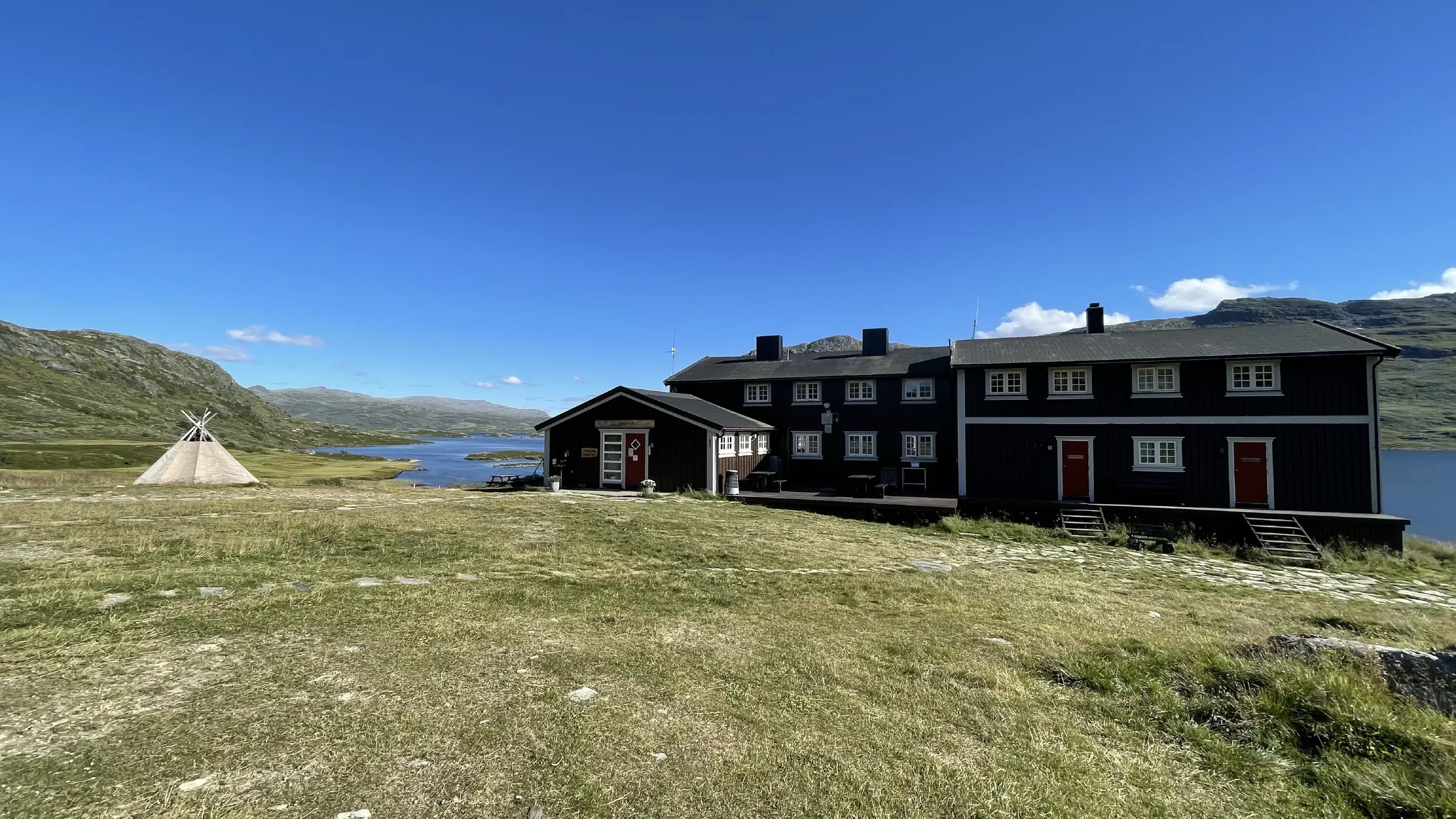
Last five-six kilometres had very nice surface and went fast except for all the picture stops along Fødalsvannet and Fødalsbrekka. Then a couple more kilometres before crossing the bridge and arrive at Iungdalshytta.
Please note that these posts are only updated whenever I stumble within mobile network connectivity. If you’re curious about progress in between posts, check out the Live GPS Tracker which is updated automagically.
Today’s statistics
- Total distance hiked: 16.84km
- Total time: 6:25 hrs
- Total ascent: 465m
- Total descent: 929m
- Max elevation: 1689m
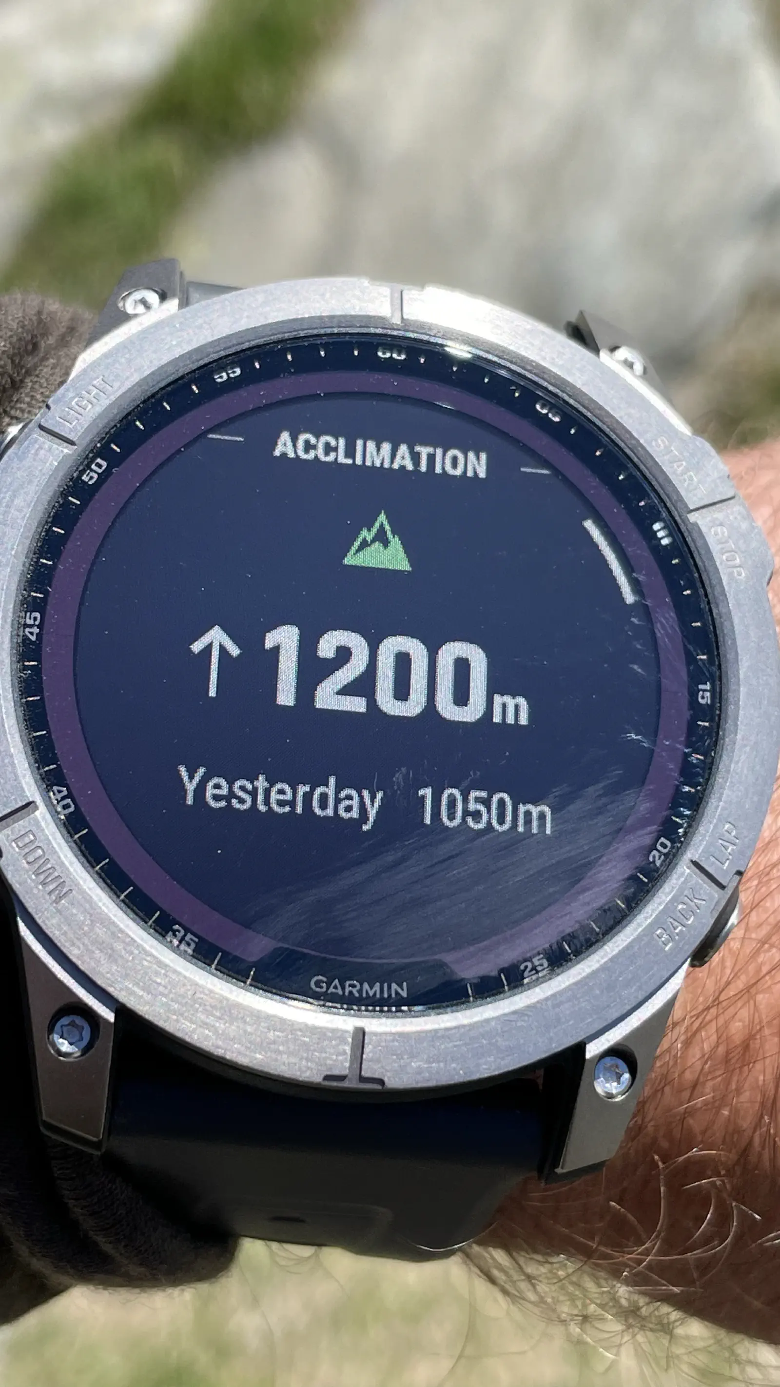
- Today’s favourite item: Garmin inReach Mini, to receive detailed weather reports for both start and destination locations to be used for trip planning before departure.
- Today’s crap moment: Couldn’t locate the ruins of an old Lord hut I know I passed along the way and was looking forward to exploring.
- Toughest section: Rocky hills at the beginning, though nowhere near as big or long section as earlier.
- Today’s word of wisdom: If you’re hiking rocky areas or places you really do not want to trip over open shoe laces, use an orienteering knot. They don’t open by themselves and are still easy to untie. Google is your friend.
Gallery