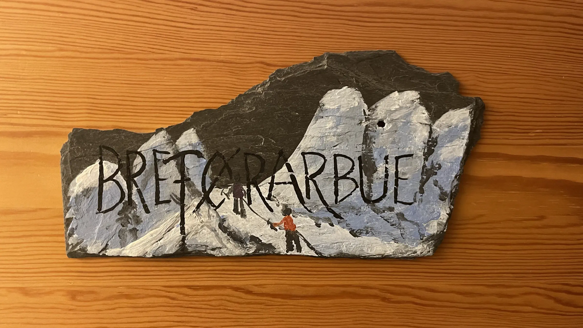
MASSIV Day 7: Skogadalsbøen – Fondsbu
Today’s hike was a lot simpler than the first three, yet it still had some long distances to cover crossing boulders. It felt surprisingly heavy though. Part of it is probably a natural result of yesterdays rest day.
Most of it however, is quite likely all mental. As I had told myself this would be a comparatively easy hike, my legs and feet got a tad disappointed. For the truly hard ones though, I was positively surprised and didn’t find them particularly hard at all.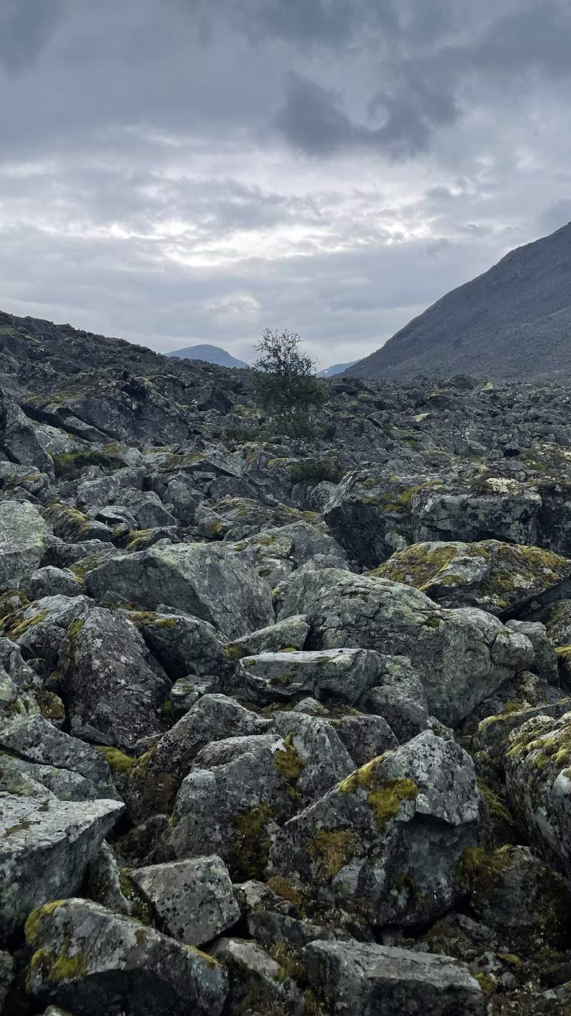
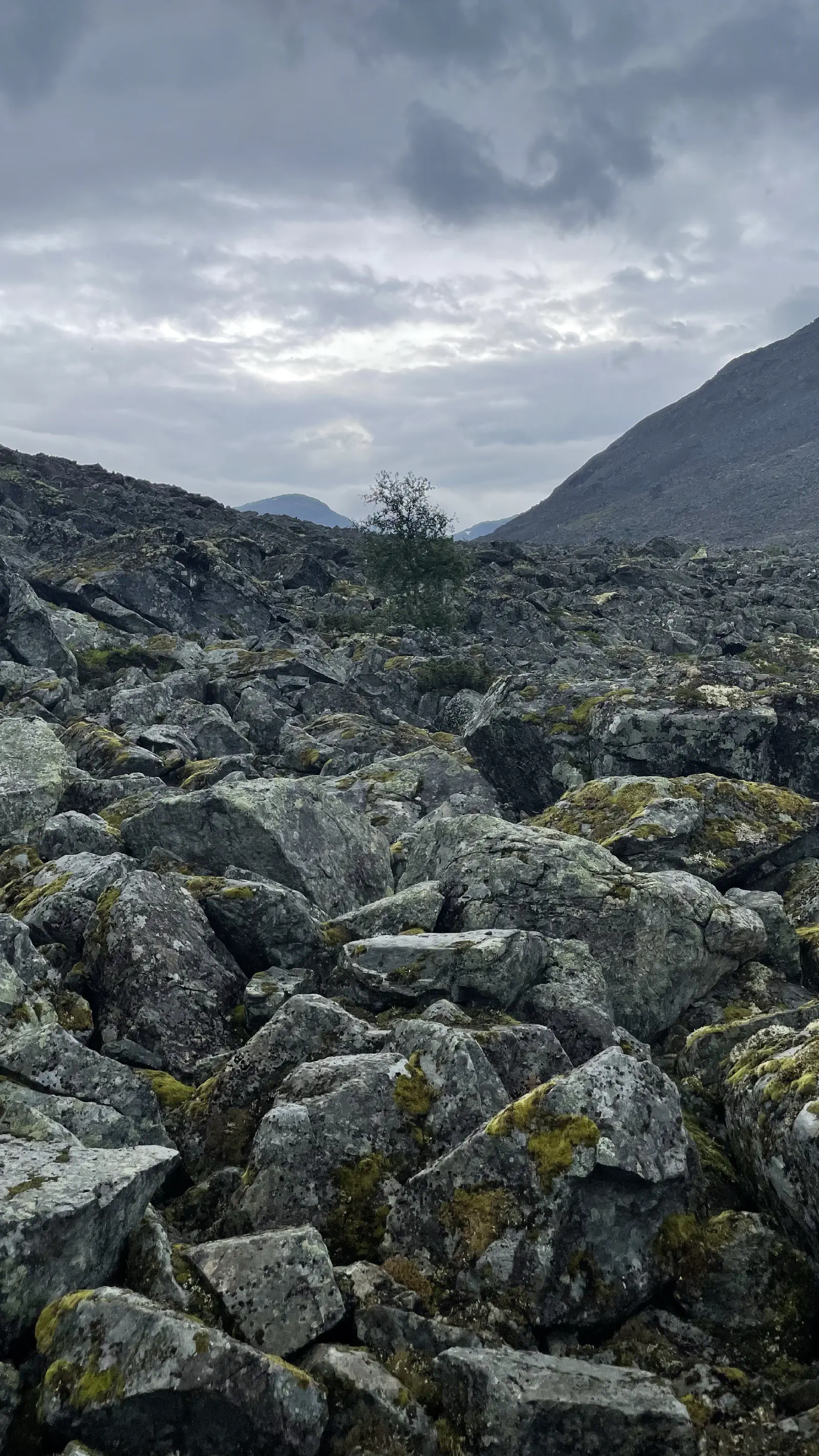
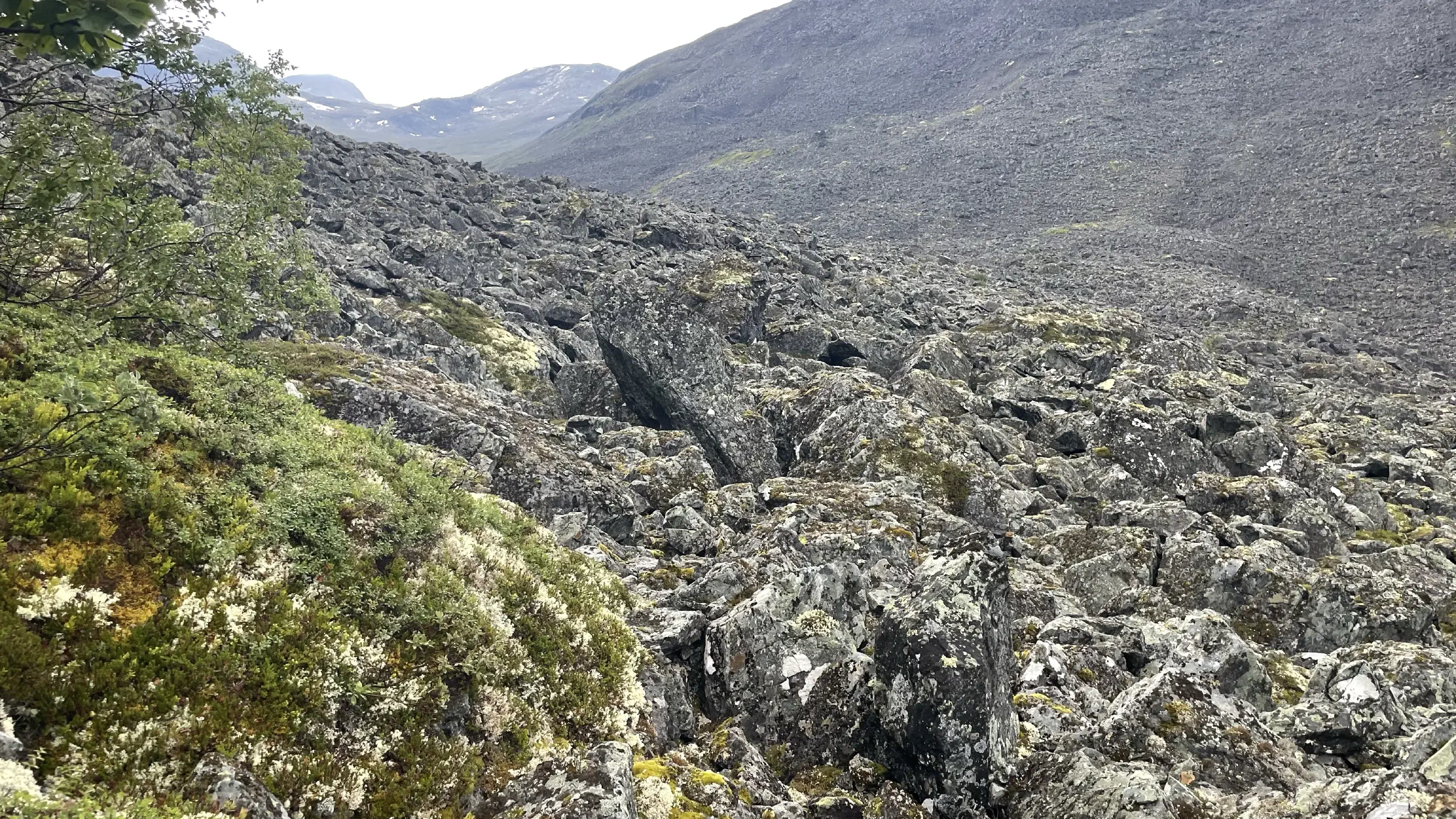
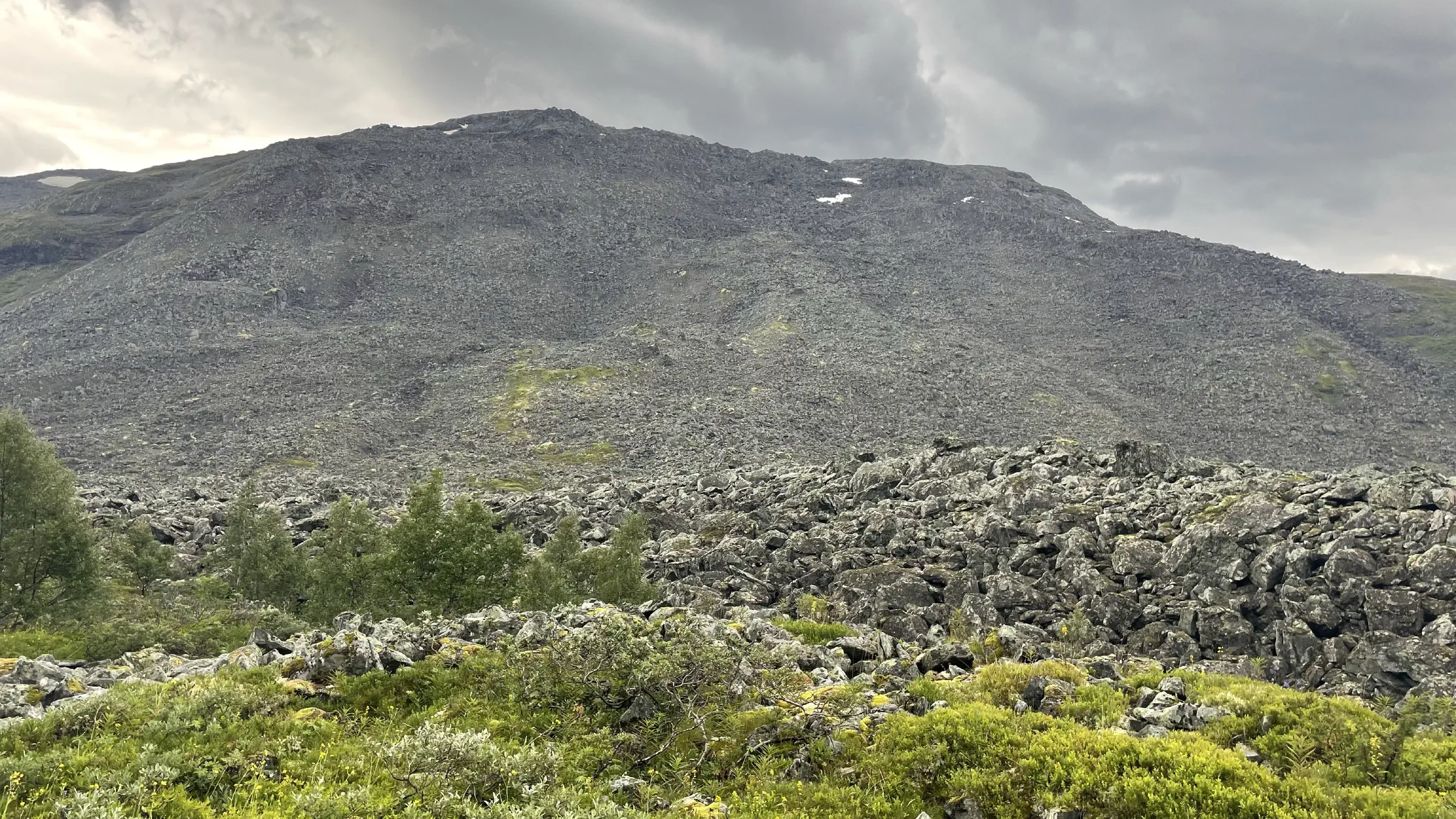
It’s funny how the brain’s reward system works when one is in a focused state of mind for quite some time. As I spent a couple of hours uninterruptedly traversing boulders, I was quite deeply focused on maintaining the right balance of precise foot placement and a forward moving pace. So you take one step at a time, deeply concentrating on where to place the next. Then look a few meters ahead and notice some large flat rocks and go “Ooh I’m looking forward to stepping on those!” The little things …
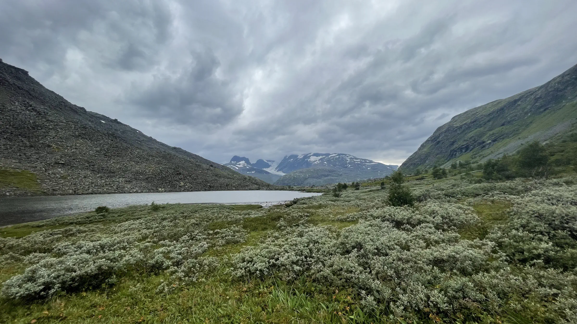
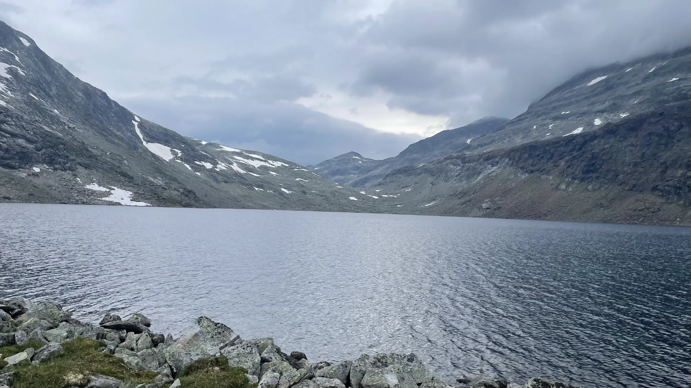
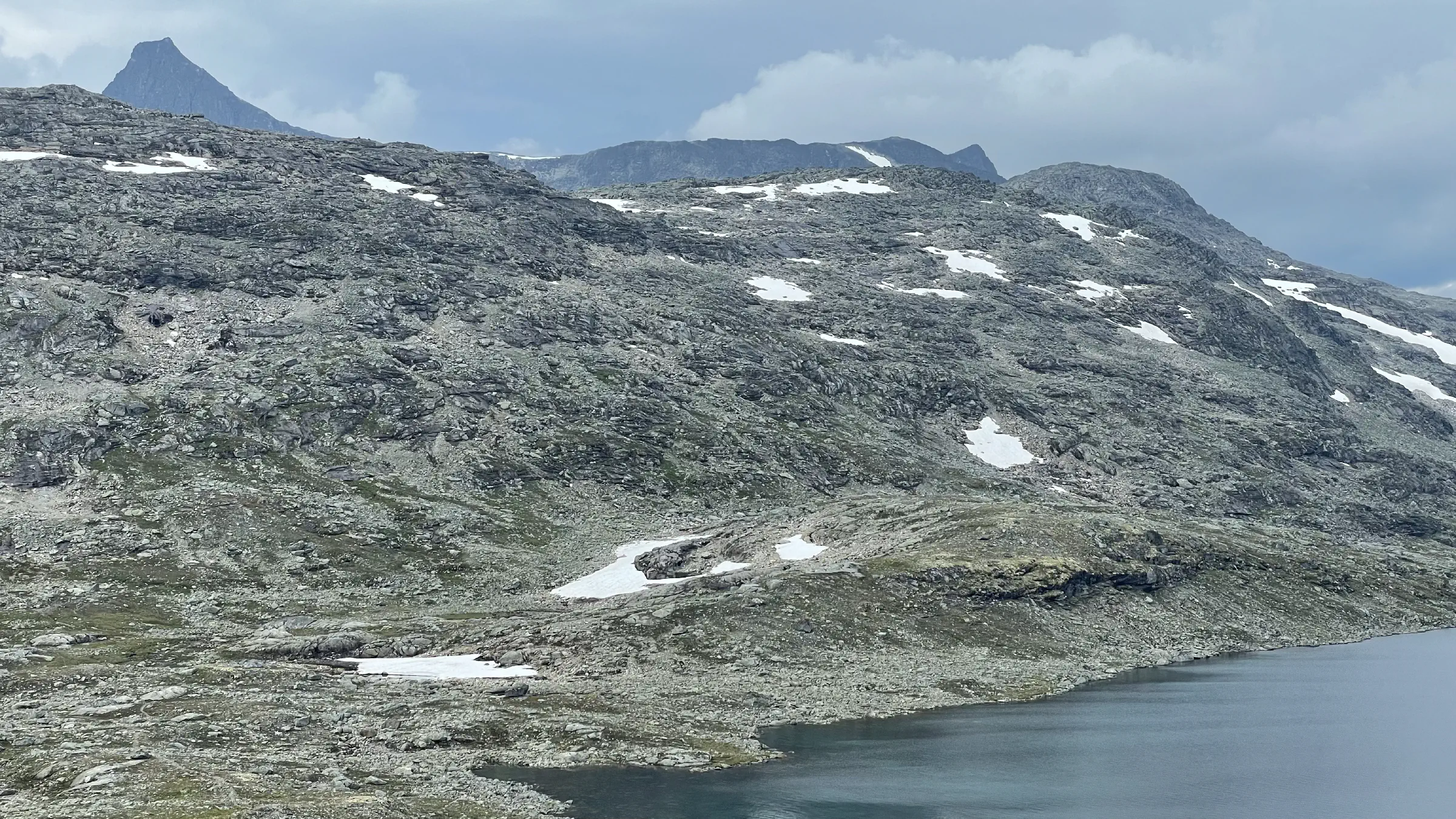
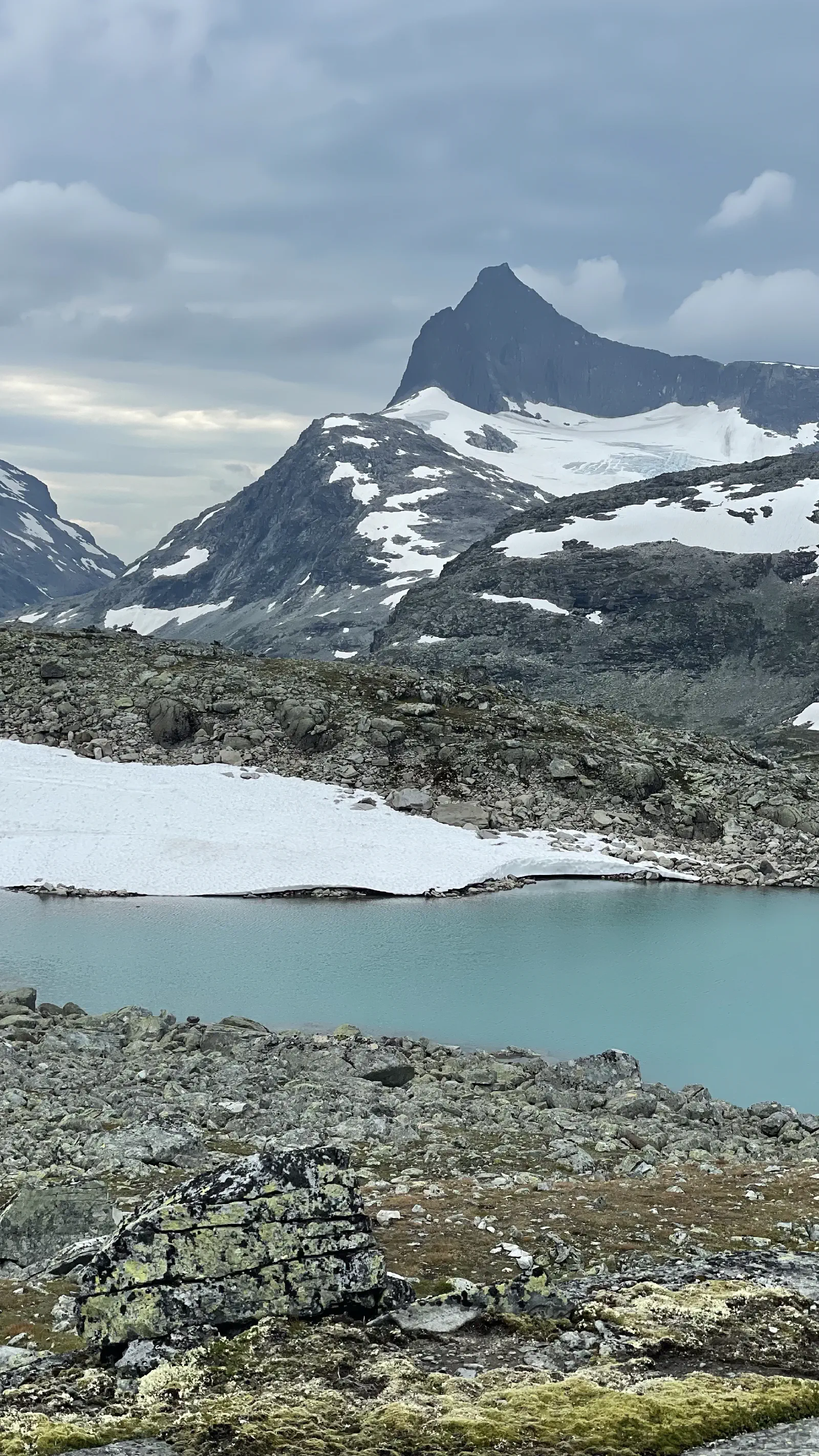
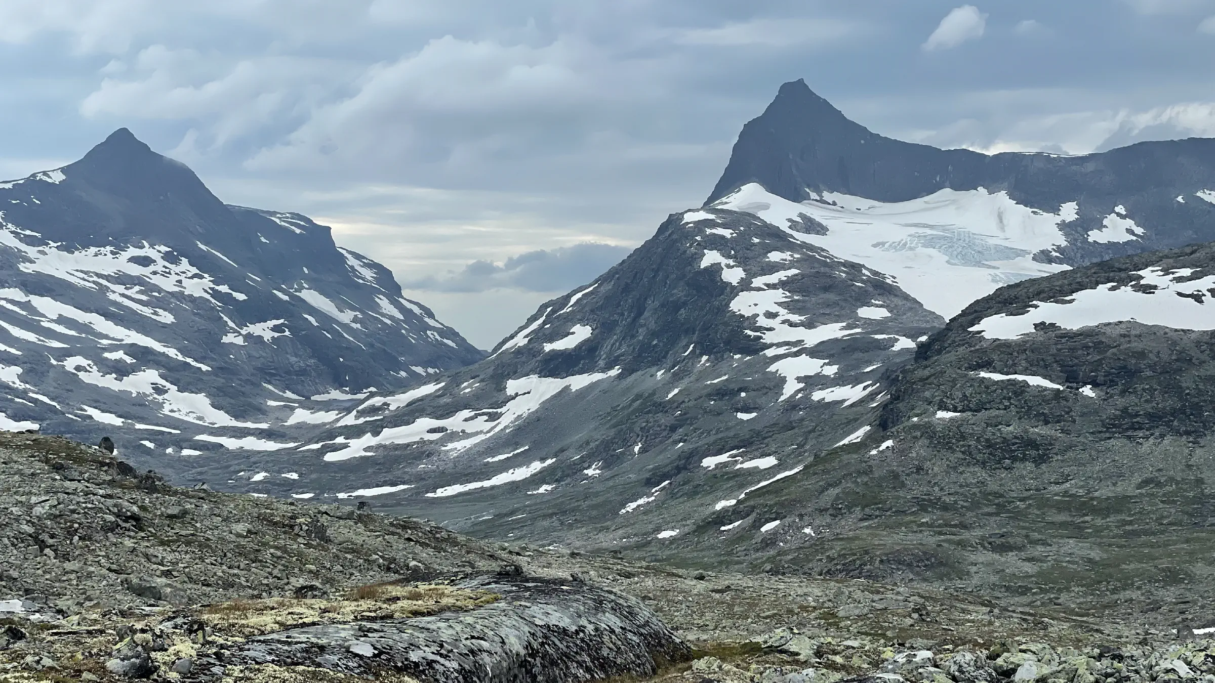
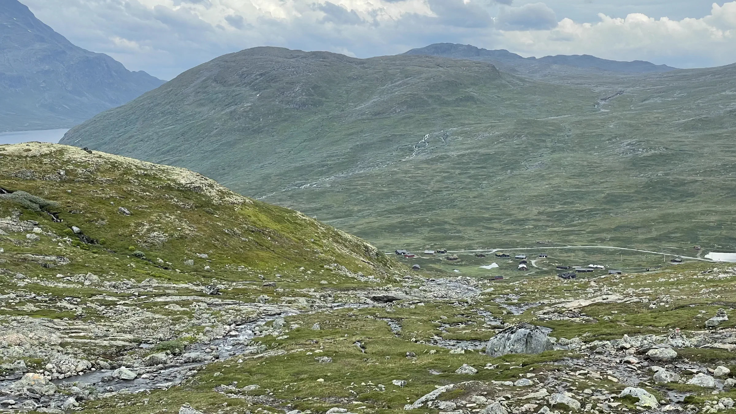
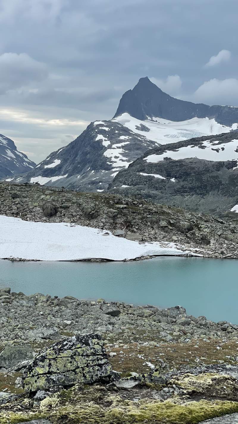
There are two roughly equal distance paths for today’s section, Skogadalen and Uradalen. As I walked parts of Skogadalen during my rest day, and because I wanted to see the beautiful Uradalsbandet just beneath Uranostinden, I chose the latter. This also placed me east of Falketind, a beautiful mountain I have been interested in visiting ever since hiking past it with the girls down Utladalen last year.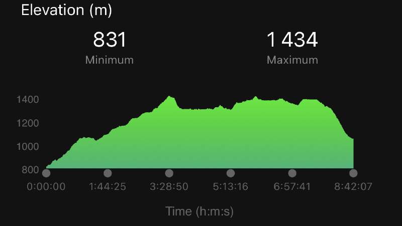
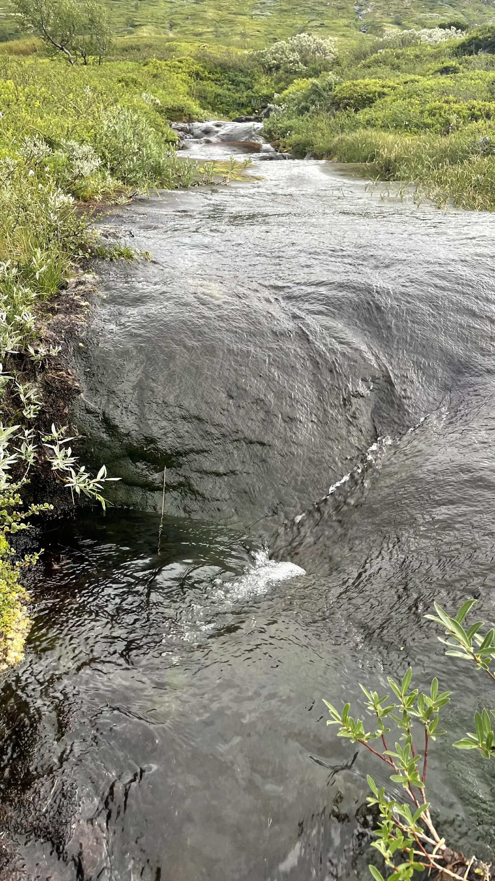
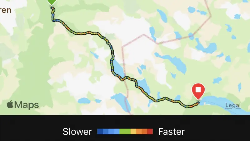
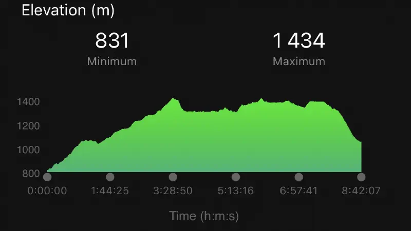
This section is exactly 25km and starts with a consistent ascend through light forest and simple rocks. Total ascent 1059m with an 831m descent. As always it’s the latter that’s problematic. Hiking uphill is all about pacing oneself and taking baby steps and/or rest steps.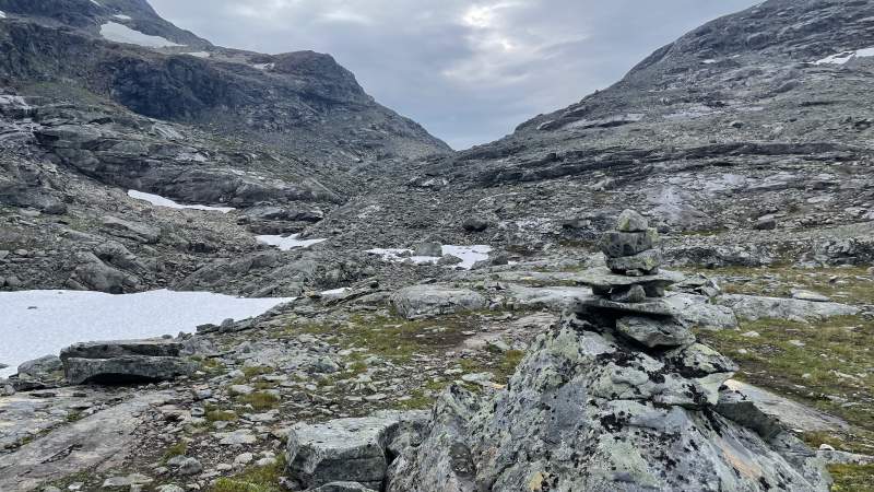
Body still responding surprisingly well. Left knee all good, but right knee has started gently reminding me of its existence. This is where hiking poles are brilliant. Did the remainder of the section with poles, and knee stopped complaining.
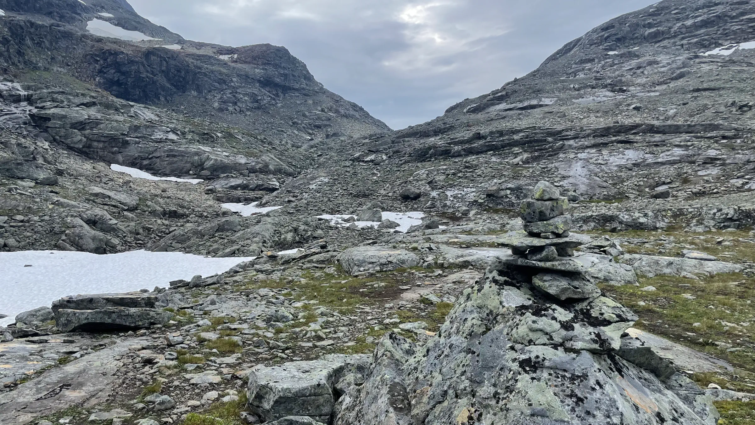
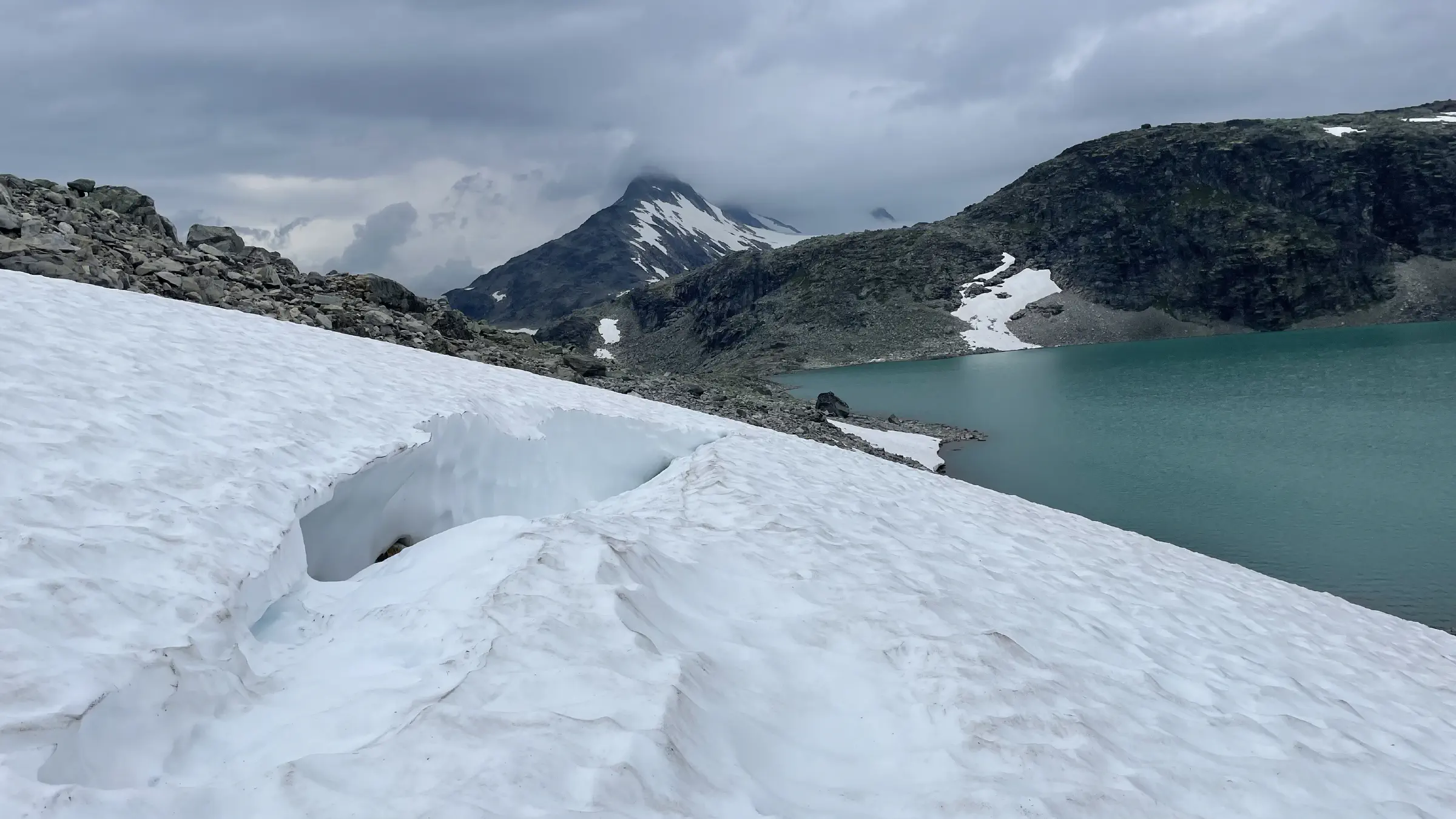
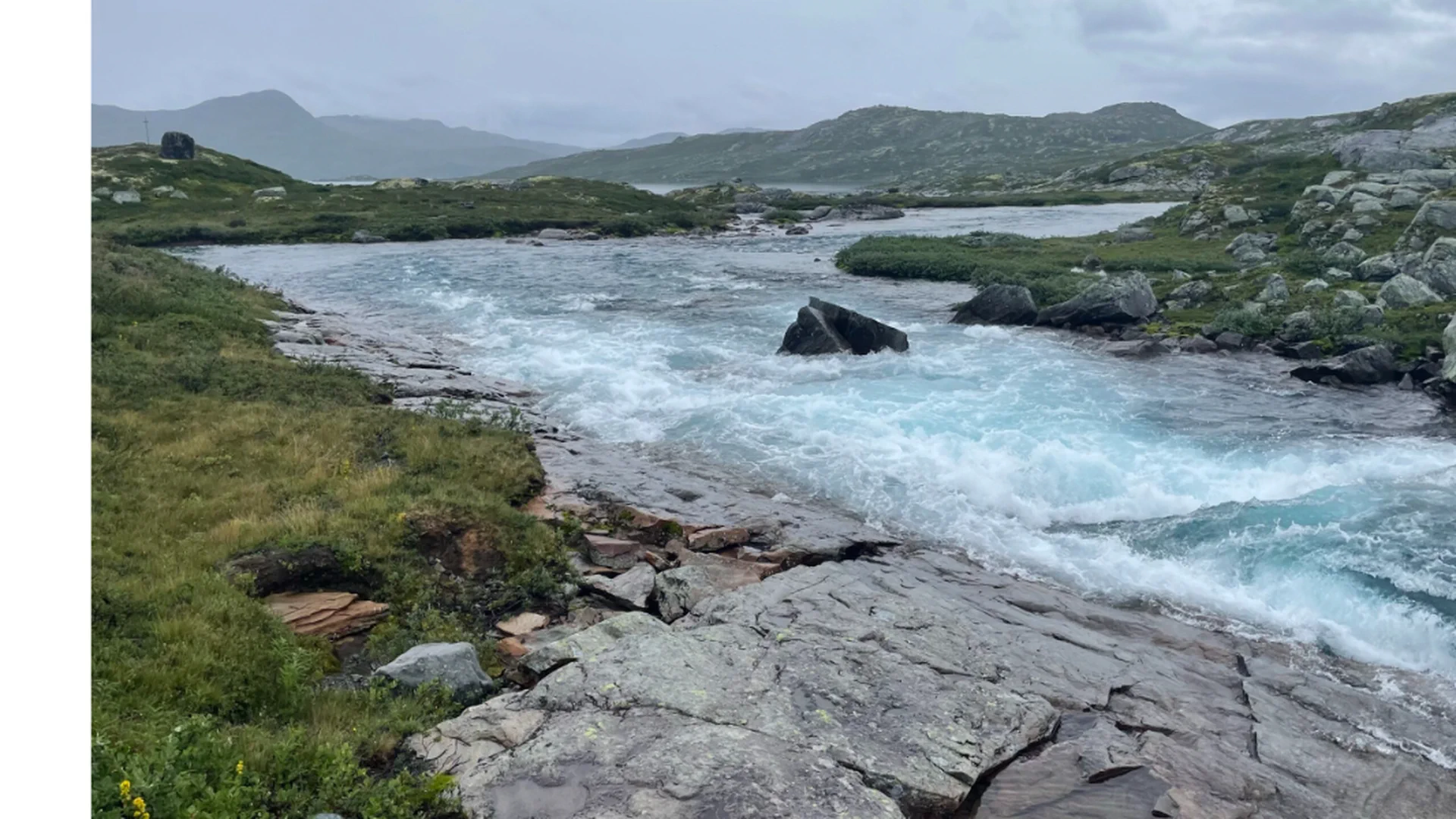
About ten kilometres from Fondsbu you have the choice of hiking towards Koldedalen and do the last 2.5 hrs on road. In my stubbornness I chose to stay in the mountains and thus spent 3 hours cursing boulders and yet another incorrect GPX track. Got some stunning views as reward though so all with it.
Today’s statistics
- Total distance hiked: 25.01km
- Total time: 8:41 hrs.
- Total ascent: 1059m
- Total descent: 823m
- Max elevation: 1434m
- Today’s favourite item: Hydraflask mini thermos, sufficient for one cup of tea.
- Today’s crap moment: Realising I had not taken the massive boulders into account
- Toughest section: West of Uradalsvatnet towards Koldedalen.
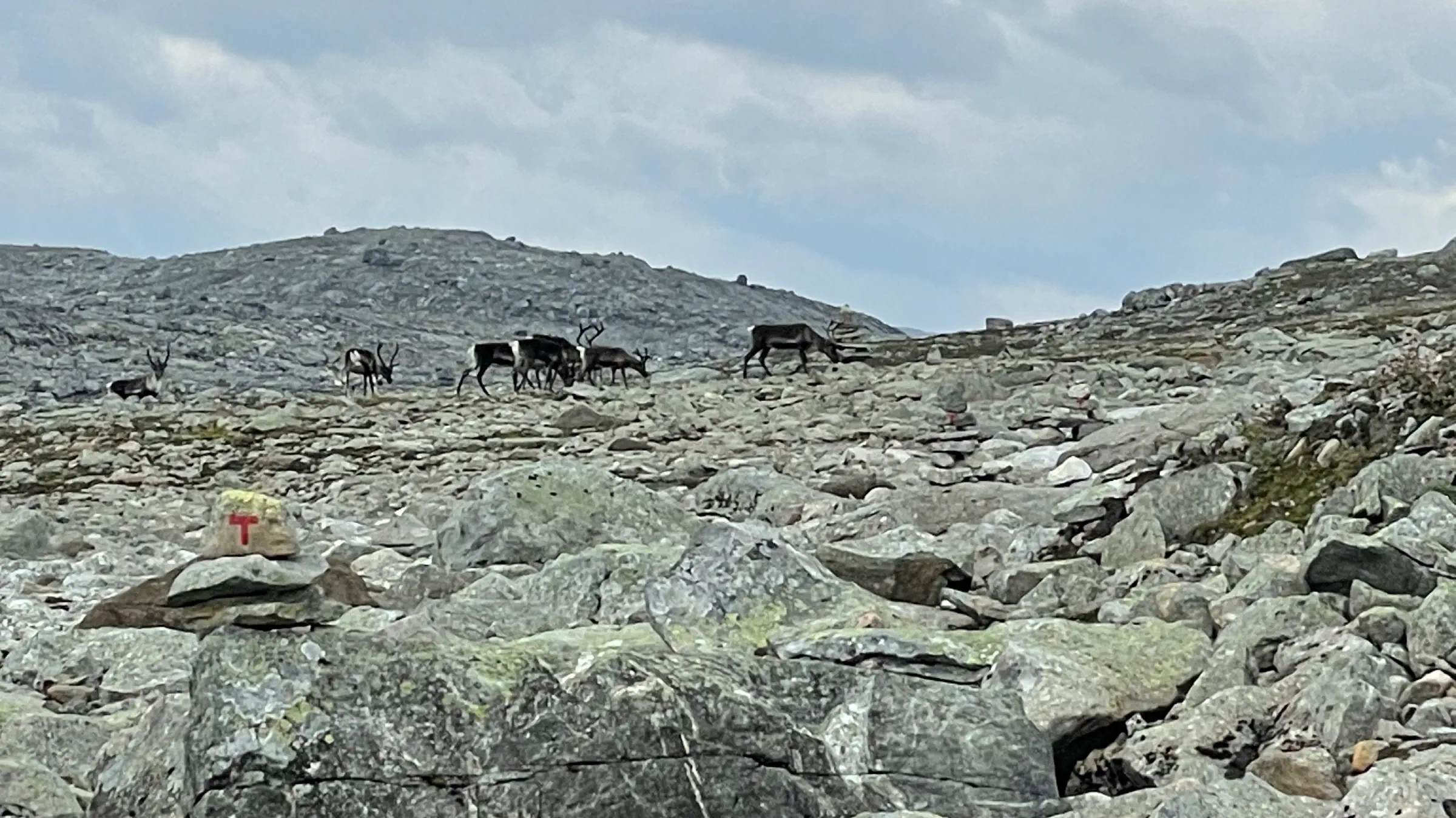
- Today’s word of wisdom: Don’t carry too much water. Half litre is sufficient in between streams, rivers and lakes. Drink from rivers if there’s reasonable movement. A couple of minor exceptions. Don’t drink water coming directly out from a glacier, as it contains a lot of sediments. And obviously not downstream from a dead reindeer.

Gallery